Explore the Unknown

Discover the secrets of black holes, galaxies, and the origin of the universe.

Advertisement

Trending Now

Documentary Note

The Speed of Light Is Not a Bridge, It Is a Cage

A cinematic-scale perspective on time, distance, and how the universe hides itself.

Humanity has been fooled by the speed of light for thousands of years. In one second, light can circle the Earth seven and a half times. It looks insanely fast. But on a cosmic scale, it's slow—painfully slow.

The speed of light isn't a bridge. It's a cage.

What you're seeing from the Sun right now is an image from eight minutes ago. If the Sun exploded this instant, we'd live eight perfectly normal minutes without knowing anything was wrong.

It gets stranger. The Andromeda Galaxy we see tonight is frozen in time—2.5 million years old. Back then, humans hadn't even learned how to walk upright.

On the scale of the universe, light isn't really light. It's a letter that will never arrive.

Read full documentary note

Human radio signals have been traveling for a hundred years, and they've barely escaped one-tenth of one percent of the Milky Way. If Earth vanished tomorrow, 99.999% of the universe would never know humans existed—not for billions of years.

And the truly terrifying part? If an alien civilization discovered Earth today and decided to come find us, they wouldn't see Earth where it is now—they'd see where it was tens of thousands of years ago.

Our solar system is racing through the galaxy at 220 kilometers per second. In that time, Earth has moved billions of kilometers. By the time they reach the coordinates they saw, Earth wouldn't be there.

And worse—the universe is expanding faster and faster. Some regions are already moving away from us faster than light itself. Their light will never reach us. Ever.

So what does that mean? It means the universe is actively hiding itself from us.

So when we gaze into the universe, we are actually looking back in time.

The speed of light is not just the ultimate speed limit, it also binds time and space together. According to Albert Einstein's theory of relativity, the closer you move to the speed of light, the slower time passes for you.

If a spacecraft were to travel at near-light speed, only a few years might pass for those on board, while hundreds of years could have gone by on Earth.

And precisely because the speed of light has a limit, we can never see the universe as it exists "right now". Everything we see is history.

In a sense, the universe is not just a vast expanse of space, but a gigantic museum of time. And light is its only messenger.

Advertisement

Featured Articles

Latest and most popular articles from all categories
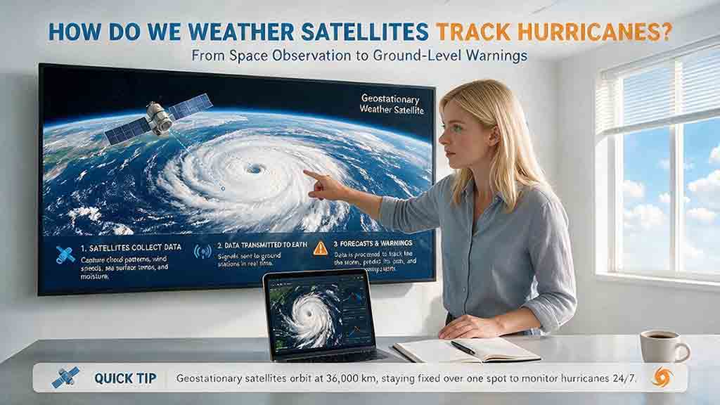
Earth Observation & MappingHow Do Weather Satellites Track Hurricanes?

How Do Weather Satellites Track Hurricanes?

Weather satellites track hurricanes by combining frequent regional imagery with detailed measurements of clouds, rainfall, moisture, winds, lightning, and ocean conditions. This guide explains how geostationary satellites follow a storm’s movement and rapid structural changes, while polar-orbiting satellites reveal temperature, rainfall, and features hidden beneath upper cloud layers. It also shows how forecasters locate a hurricane’s center, estimate its speed and intensity, and use satellite observations to improve computer-model starting conditions. Practical sections explain the differences among visible, infrared, microwave, scatterometer, synthetic aperture radar, and precipitation products. An original Observe–Measure–Model framework, movement calculation, product-selection table, evidence-confidence guide, and Hurricane Milton case study demonstrate why no single image or instrument can describe an entire storm. The article also explains important limitations, common interpretation mistakes, and why official forecasts and local emergency guidance should always take priority in personal safety decisions.

2026/08/045 minRead More
Earth Observation & MappingHow Are Satellite Images Used in Agriculture?

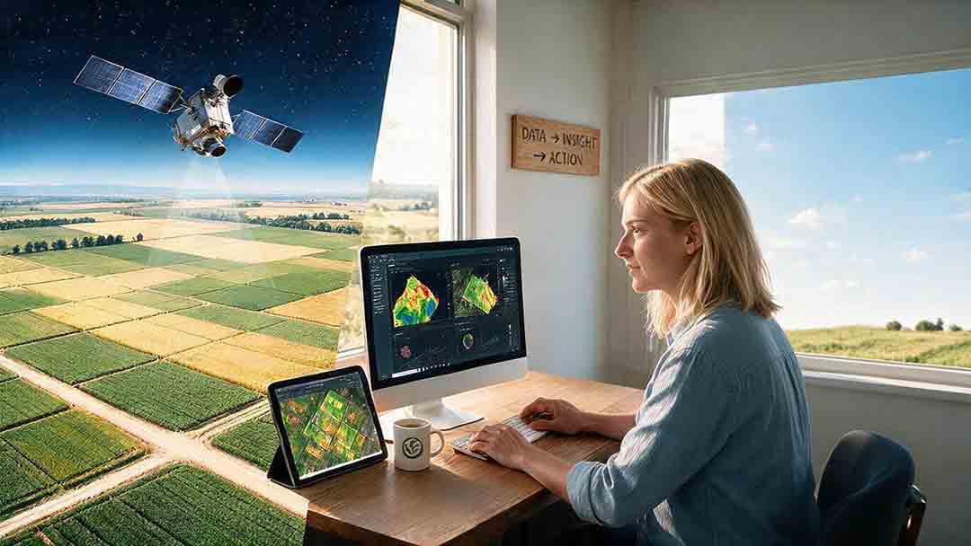
How Are Satellite Images Used in Agriculture?

Satellite images help farmers, agronomists, researchers, insurers, and public agencies monitor agricultural land across fields, regions, and growing seasons. This guide explains how optical, radar, thermal, and microwave satellite observations support crop-development monitoring, irrigation analysis, field mapping, flood and drought assessment, crop classification, and regional production forecasting. It distinguishes what satellites directly observe from calculated indices, classification results, and modeled estimates such as evapotranspiration. Readers will also learn how NDVI works, why spatial resolution and image timing matter, and when drones or field scouting are more appropriate. The original CosmoBasics SCALE Framework provides a practical way to decide whether satellite imagery fits a specific agricultural problem. Documented examples from USDA and OpenET show how operational products combine multiple observations, reference data, weather information, and models. Throughout the guide, satellite imagery is treated as a screening and monitoring tool—not a substitute for field verification, laboratory testing, or professional agricultural judgment.

2026/08/045 minRead More
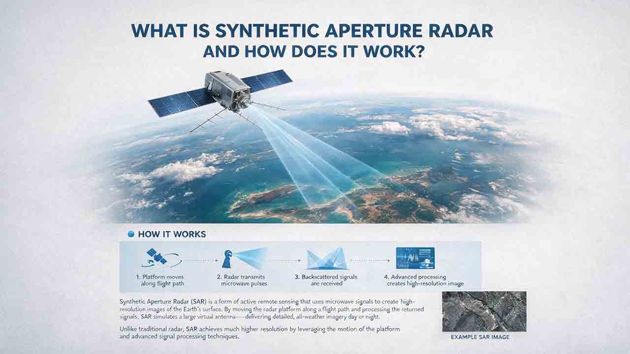
Earth Observation & MappingWhat Is Synthetic Aperture Radar and How Does It Work?

What Is Synthetic Aperture Radar and How Does It Work?

Synthetic aperture radar, or SAR, is an active Earth-observation technology that creates detailed images by transmitting microwave pulses and measuring the echoes returned from the surface. This article explains how a moving satellite or aircraft collects repeated observations to form a virtual antenna, why SAR can operate at night and through most cloud cover, and how amplitude, phase, wavelength, polarization, surface roughness, moisture, and viewing geometry affect radar imagery. It also distinguishes pixel spacing from true spatial resolution, provides a transparent range-resolution calculation, and compares SAR with optical satellite imagery. Practical sections examine scattering mechanisms, flood mapping, agriculture, forests, ice, maritime monitoring, and InSAR-based ground-deformation analysis. Original interpretation and data-selection frameworks help readers evaluate backscatter patterns, choose suitable products, identify common errors, troubleshoot unexpected results, and communicate uncertainty without treating derived radar products as guaranteed ground truth.

2026/08/045 minRead More
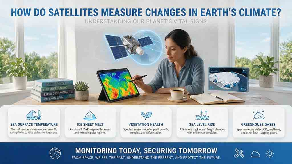
Earth Observation & MappingHow Do Satellites Measure Changes in Earth’s Climate?

How Do Satellites Measure Changes in Earth’s Climate?

Satellites help scientists measure changes in Earth’s climate by repeatedly observing physical variables such as temperature, radiation, atmospheric gases, sea level, ice, soil moisture, vegetation, and land cover. Their instruments detect reflected sunlight, emitted heat, microwave energy, radar and laser travel time, and small changes in Earth’s gravity. These raw observations must be calibrated, corrected, validated, and combined across multiple missions before they can become reliable long-term climate records. This article explains the full path from sensor signal to scientific conclusion, including a practical sea-level measurement example. It also introduces the Signal-to-Claim Chain and the 4C Climate-Record Test, two reader frameworks for evaluating satellite datasets, maps, and climate claims by examining coverage, continuity, calibration, cross-checking, processing methods, and uncertainty.

2026/08/045 minRead More
Earth Observation & MappingHow Do Satellites Detect Wildfires and Smoke?

How Do Satellites Detect Wildfires and Smoke?

Satellites detect wildfires by measuring unusual heat in infrared wavelengths, while visible, multispectral, and aerosol observations help analysts follow smoke across the atmosphere. This guide explains how systems such as GOES, VIIRS, MODIS, Landsat, and Sentinel contribute different pieces of the wildfire-monitoring picture. Readers will learn why a thermal hotspot is not the same as an exact fire perimeter, why satellite smoke imagery cannot replace ground-level PM2.5 measurements, and how clouds, terrain, viewing geometry, and satellite overpass timing can affect detection. The article also compares commonly used fire and smoke products, explains fire radiative power and the Normalized Burn Ratio, and provides a practical framework for choosing the right map. A documented Camp Fire example shows how multiple satellite and surface datasets can complement one another. Satellite information is valuable for situational awareness, but official emergency agencies remain the appropriate source for evacuation orders, road closures, and immediate safety decisions.

2026/08/045 minRead More
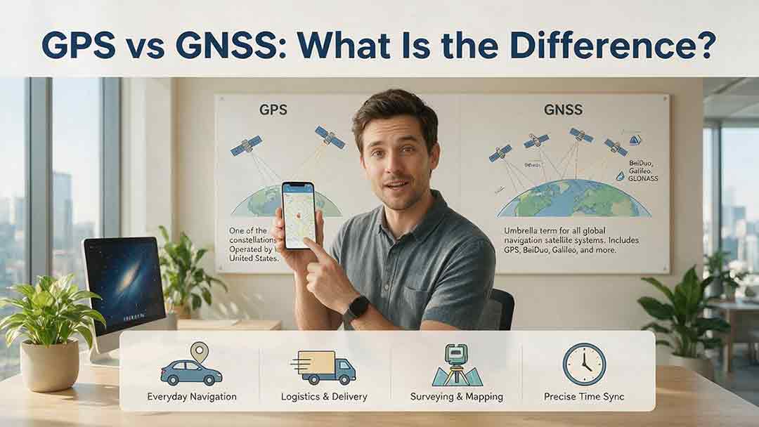
GPS, Timing & NavigationGPS vs GNSS: What Is the Difference?

GPS vs GNSS: What Is the Difference?

GPS and GNSS are often used as if they mean the same thing, but they describe different levels of satellite navigation technology. GPS is the United States’ satellite navigation system, while GNSS is the broader category that includes GPS, Galileo, GLONASS, BeiDou, and compatible regional systems such as QZSS and NavIC. This guide explains how GPS-only and multi-GNSS receivers differ, why access to more constellations may improve signal availability, and why a larger satellite count does not automatically guarantee greater accuracy. It also examines dual-frequency reception, satellite geometry, antenna quality, correction services, sensor integration, and common positioning errors. Readers can use the Receiver Capability Stack, buying checklist, real-world examples, and troubleshooting steps to evaluate phones, watches, vehicle navigators, outdoor devices, survey receivers, and timing systems. The article is based on official technical documentation and clearly distinguishes educational examples from recognized GNSS performance standards.

2026/08/045 minRead More
Advertisement

Science Deep Dive

High-quality long-form content exploring cosmic phenomena in depth
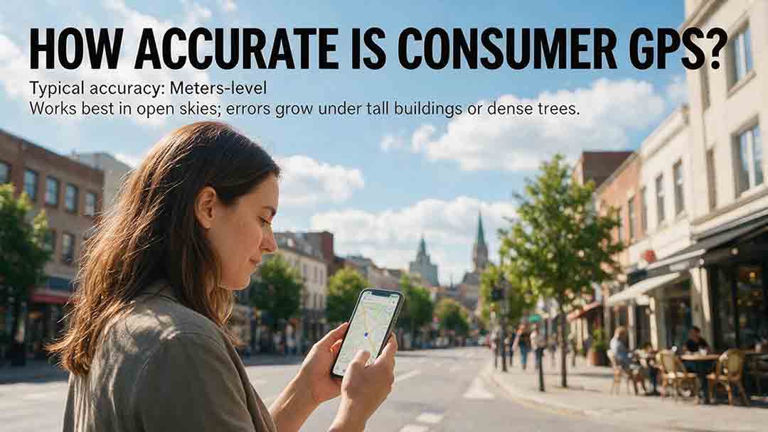
How Accurate Is Consumer GPS?
GPS, Timing & Navigation

How Accurate Is Consumer GPS?

Consumer GPS can often estimate horizontal position within about 5 meters under open sky, but actual accuracy varies significantly with the device, satellite geometry, signal blockage, reflected signals, antenna placement, and software processing. This guide explains what GPS accuracy figures really mean, why an app’s accuracy circle is not the same as measured error, and why smartphone references, Android confidence estimates, and government GPS performance standards should not be treated as interchangeable. It introduces the CosmoBasics Target Separation Test, a practical framework for deciding whether GPS uncertainty is small enough for a specific task. Readers will also learn how smartphones combine GNSS, Wi-Fi, cellular data, and sensors; how dual-frequency reception may improve performance; why altitude is less reliable than horizontal position; and how to test and troubleshoot a device. The article clearly identifies situations where consumer GPS is useful and where professional, certified, or regulated positioning methods are necessary.
2026/08/045 min
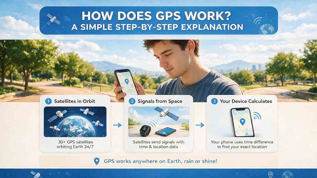
How Does GPS Work? A Simple Step-by-Step Explanation
GPS, Timing & Navigation

How Does GPS Work? A Simple Step-by-Step Explanation

GPS determines location by measuring how long precisely timed radio signals take to travel from multiple satellites to a receiver. This guide follows that process step by step, from satellite transmission and pseudorange calculation to the four-satellite solution used to determine three-dimensional position and receiver-clock error. It explains why GPS satellites need atomic clocks, how relativity affects orbital timing, and why a one-microsecond timing difference represents roughly 300 meters of signal travel. The article also distinguishes GPS coordinates from digital maps, addresses, and route-planning data. Practical frameworks help readers understand how signal quality, timing, satellite geometry, and error corrections affect positioning performance. A 10-minute diagnostic test offers a structured way to separate reception problems from map, routing, permission, or connectivity issues. The guide also covers GPS accuracy, multipath near tall buildings, ionospheric delay, GPS versus GNSS, offline use, and appropriate precautions for remote, professional, and safety-critical applications.

2026/08/045 min
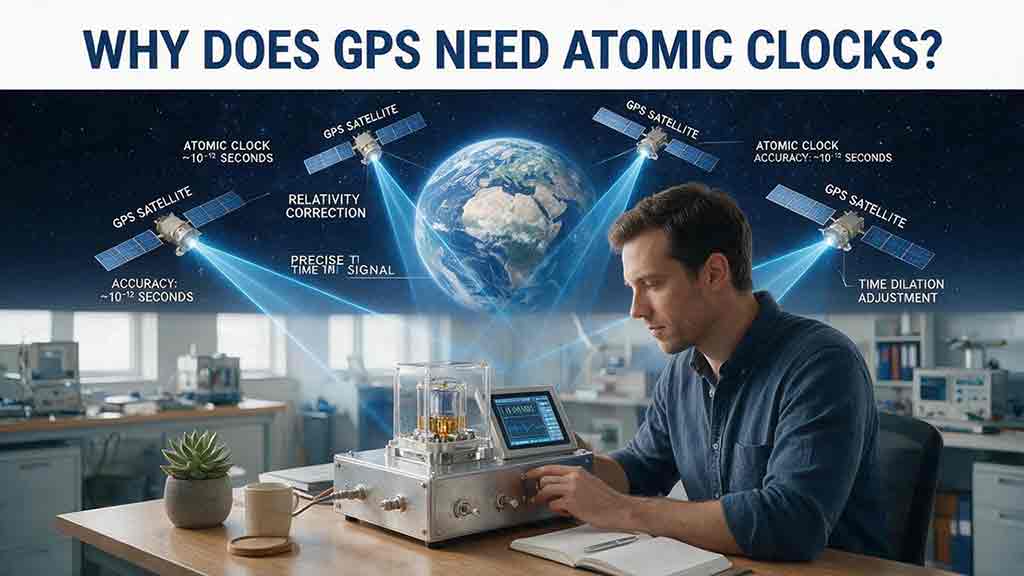
Why Does GPS Need Atomic Clocks?
GPS, Timing & Navigation

Why Does GPS Need Atomic Clocks?

GPS depends on atomic clocks because every satellite range begins as a timing measurement. Since radio signals travel at nearly the speed of light, even a nanosecond-level clock error can represent centimeters or meters of apparent distance. This article explains how GPS satellites use atomic frequency standards, ground monitoring, clock corrections, and navigation messages to maintain reliable timing. It also shows why ordinary smartphones do not need atomic clocks, why a basic three-dimensional GPS solution normally requires four suitable satellite measurements, and how relativity affects clocks in orbit. A worked timing-to-distance example, an original five-step evaluation framework, and a GPS error table help distinguish satellite clock error from atmospheric delay, multipath, receiver bias, poor geometry, and other limitations. Based on official GPS.gov, NIST, NAVCEN, and NOAA documentation, the guide provides a practical and carefully qualified explanation of why precise time is fundamental to modern satellite navigation.
2026/08/045 min
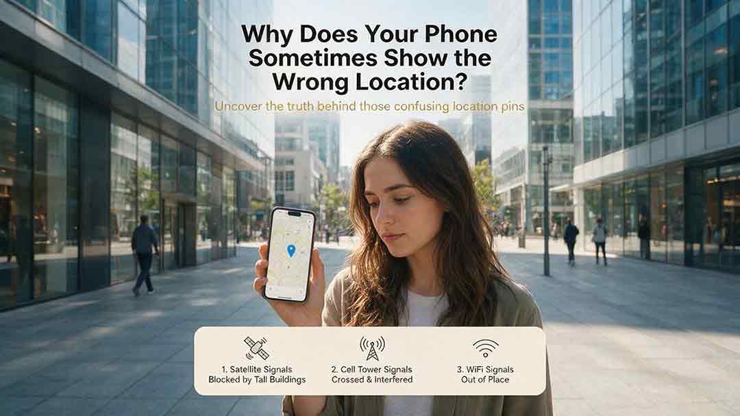
Why Does Your Phone Sometimes Show the Wrong Location?
GPS, Timing & Navigation

Why Does Your Phone Sometimes Show the Wrong Location?

A phone’s location can appear incorrect even when its GPS hardware is functioning normally. Modern smartphones estimate position by combining satellite signals with Wi-Fi, cellular networks, Bluetooth, motion sensors, app permissions, and map data. This guide explains how blocked or reflected signals, cached locations, approximate permissions, battery restrictions, compass errors, and inaccurate map pins can affect the blue dot. It introduces two practical CosmoBasics troubleshooting tools—the Two Apps, Two Places Rule and the PLACE Test—to help readers distinguish app problems, environmental interference, stale data, mapping errors, and possible device-level issues. The article also provides step-by-step fixes for iPhone and Android, explains realistic smartphone accuracy under open-sky and indoor conditions, and identifies when contacting the manufacturer may be appropriate. All major technical claims are supported by first-party documentation from GPS.gov, Apple, Android, Google Maps, and Google for Developers.

2026/08/045 min
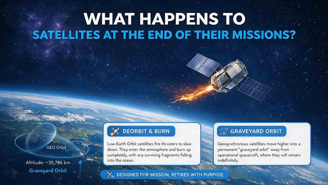
What Happens to Satellites at the End of Their Missions?
Orbits, Tracking & Ground Systems

What Happens to Satellites at the End of Their Missions?

When a satellite reaches the end of its mission, it is not simply switched off and forgotten. Depending on its orbit, remaining fuel, control systems, and reentry risk, it may be guided into Earth’s atmosphere, moved to a higher disposal orbit, or left as a tracked non-functional object if recovery fails. This article explains how natural decay, assisted reentry, controlled reentry, graveyard orbits, and spacecraft passivation work. It also compares disposal strategies for low, medium, and geostationary Earth orbits, clarifies the limited scope of major regulatory requirements, and examines real-world examples such as ESA’s Aeolus and ClearSpace-1 missions. Original tools—including the Three-Finish Test and the Orbit–Control–Risk Framework—help readers distinguish mission completion from safe orbital and energy disposal. The guide is based on current NASA, FCC, ESA, UN, and IADC documentation.
2026/08/045 min
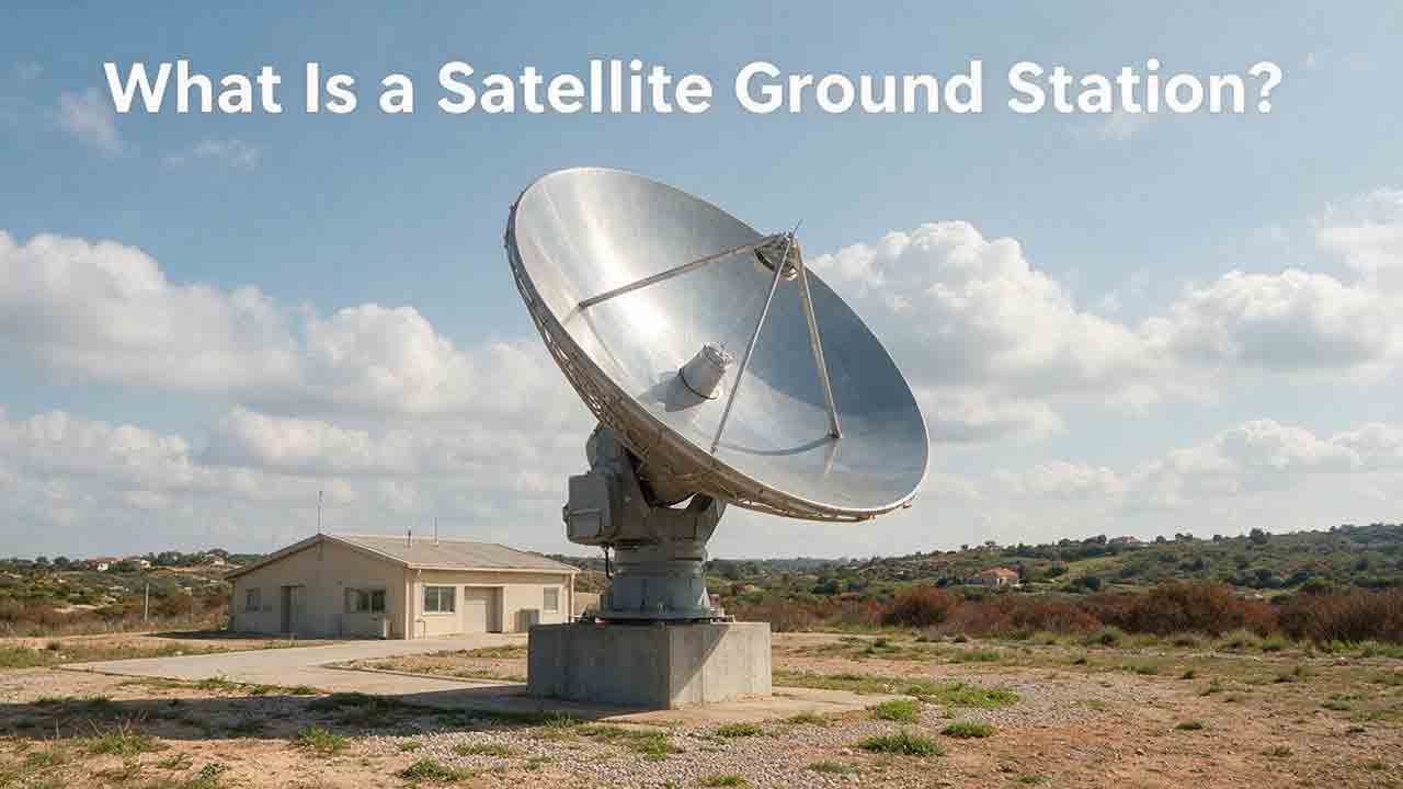
What Is a Satellite Ground Station?
Orbits, Tracking & Ground Systems

What Is a Satellite Ground Station?

A satellite ground station is the Earth-based link that allows spacecraft to exchange information with operators, processing systems, and data users. This guide explains how ground stations receive telemetry and payload data, support spacecraft tracking, and transmit authorized commands. It follows a satellite contact from pass prediction and antenna pointing through signal acquisition, decoding, terrestrial delivery, and mission use. Readers will also learn how antennas, amplifiers, modems, tracking systems, software, and networks work together; why location and orbit geometry matter; and how to estimate usable data from a single pass. The article includes an original PASS compatibility framework, a worked data-capacity example, a private-versus-managed-service comparison, a troubleshooting table, and a practical selection checklist. It also distinguishes ground stations, ground segments, and earth stations while explaining the engineering, security, licensing, and operational limits that mission teams must consider.

2026/08/045 min