How Do Satellites Stay in Orbit Without Falling?

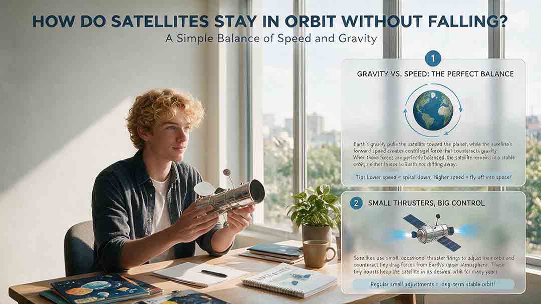
Satellites stay in orbit without falling to the ground because gravity pulls them toward Earth while their sideways velocity carries them forward fast enough to keep missing the surface. They are not hovering beyond gravity. They are in continuous free fall, following a curved path around Earth instead of a straight path into it.
Key Takeaways
- Gravity keeps satellites in orbit; it does not disappear in space.
- A satellite must have enough sideways velocity for Earth’s curved surface to fall away beneath it.
- Most satellites coast without running their engines continuously.
- Low-orbit satellites can lose altitude because the upper atmosphere creates drag.
- Thrusters are used for planned changes such as station-keeping, collision avoidance, reboosting, and disposal.
A useful way to remember the idea is this:
Orbit is not a place where an object stops falling. Orbit is a state of motion in which the object keeps falling around Earth.
This guide explains that motion step by step, calculates a simplified 400-kilometer orbit, compares low, medium, and geostationary orbits, and provides practical tools for evaluating claims about satellites “falling,” drifting, or losing altitude.
How Do Satellites Stay in Orbit Without Falling to Earth?
A satellite remains in orbit through the combination of gravity and sideways velocity.
Gravity constantly accelerates the satellite toward Earth’s center. At the same time, the satellite travels sideways so quickly that Earth’s surface curves away before the satellite can reach it.
Without gravity, the satellite would continue along a straight path into space. Without enough sideways velocity, its path would intersect the atmosphere or the ground.
NASA explains the same idea through Newton’s cannonball thought experiment: a projectile launched with sufficient horizontal speed can fall completely around Earth rather than landing on its surface. A rocket performs the real-world version by lifting a spacecraft above the dense atmosphere and accelerating it sideways. See NASA’s explanation of how orbits work.
The shortest accurate explanation
A satellite stays in orbit because:
- Gravity pulls it inward.
- Inertia carries it forward.
- Earth curves away beneath its falling path.
- Gravity continuously bends that forward motion into an orbit.
Gravity and orbital motion are therefore not opposing effects. Gravity provides the inward acceleration required to curve the satellite’s path.
Is a Satellite Really Falling?
Yes. An orbiting satellite is in continuous free fall.
“Free fall” means that gravity is the dominant force controlling the object’s motion. The satellite is falling toward Earth, but its horizontal movement prevents it from reaching the surface under normal orbital conditions.
This is also why astronauts appear weightless. The spacecraft, crew members, and loose objects inside are all falling together along nearly the same trajectory.
NASA notes that gravity remains strong at ordinary human-spaceflight altitudes. Microgravity does not mean that gravity has vanished; it describes the apparent weightlessness produced when a spacecraft and everything inside it fall together. See NASA’s microgravity explanation.
What Does “Missing Earth” Actually Mean?
The phrase “missing Earth” is a simplified description of orbital geometry.
Imagine drawing a straight line tangent to a satellite’s path. In the absence of gravity, the satellite would continue along that line. Gravity instead bends the path downward toward Earth.
At orbital speed, the satellite moves far enough sideways during each second that the planet’s curved surface drops away beneath it by roughly the same amount that the orbital path bends downward.
The satellite is not repeatedly correcting its course to avoid the ground. Gravity naturally creates the curved trajectory.
How Fast Must a Satellite Travel to Stay in Orbit?
The required speed depends mainly on the satellite’s distance from Earth’s center.
For a simplified circular orbit:
Circular orbital speed:
v = √(μ ÷ r)
Where:
- v = circular orbital speed
- μ = Earth’s standard gravitational parameter
- r = distance from Earth’s center
The equation produces an important result:
A satellite in a higher circular orbit travels more slowly than a satellite in a lower circular orbit.
A lower satellite experiences stronger gravity and must follow a more sharply curved path. A higher satellite experiences weaker gravity and follows a much larger path.
The satellite’s own mass does not appear in this simplified equation. In an ideal two-body model, a small CubeSat and a large space station at the same location and with the same velocity follow essentially the same gravitational trajectory.
Their long-term behavior can still differ because atmospheric drag depends on characteristics such as shape, orientation, surface area, and mass.
Worked Example: A Circular Orbit 400 Kilometers Above Earth
The following calculation shows why a satellite near 400 kilometers altitude travels at roughly 7.67 kilometers per second.
This is original arithmetic prepared for this guide using publicly available Earth parameters. It is an educational calculation, not a live prediction for a particular spacecraft.
Step 1: Establish the orbital radius
Use these rounded values:
- Mean Earth radius: 6,371 kilometers
- Satellite altitude: 400 kilometers
Distance from Earth’s center:
6,371 km + 400 km = 6,771 km
NASA/JPL lists Earth’s mean radius as approximately 6,371 kilometers and its gravitational parameter as approximately 398,600 km³/s². See the NASA/JPL Horizons Earth data and JPL astrodynamic parameters.
Step 2: Calculate the circular orbital speed
v = √(398,600 ÷ 6,771)
v ≈ 7.67 km/s
The satellite would travel at approximately:
- 7.67 kilometers per second
- 27,600 kilometers per hour
- 17,150 miles per hour
These values are rounded. A real spacecraft’s speed changes if its orbit is elliptical or its altitude varies.
Step 3: Calculate the orbital period
The distance traveled during one circular orbit is:
Circumference = 2 × π × orbital radius
Circumference ≈ 2 × 3.1416 × 6,771 km
Circumference ≈ 42,543 km
The orbital period is:
Period = circumference ÷ orbital speed
Period ≈ 42,543 km ÷ 7.67 km/s
Period ≈ 5,545 seconds
That equals approximately:
- 92.4 minutes per orbit
- 15.6 orbits per 24-hour day
This result is consistent with the International Space Station’s general operating environment. NASA describes the station as traveling at roughly five miles per second and circling Earth about once every 90 minutes. Its exact altitude, speed, and period vary over time. See NASA’s International Space Station facts and figures.
One-Second Orbit Snapshot: How Far Does the Path Bend?
The 400-kilometer example can be examined over a one-second interval.
In one second, the satellite travels approximately:
7.67 km
For a short section of a circular path, the distance between the curved orbit and a straight tangent can be estimated as:
Curvature below tangent ≈ distance² ÷ (2 × orbital radius)
Using the values above:
Curvature ≈ 7.67² ÷ (2 × 6,771)
Curvature ≈ 0.00435 km
That equals approximately:
4.35 meters
In other words, during one second:
| Quantity | Approximate value |
|---|---|
| Forward distance traveled | 7.67 km |
| Orbital path below a straight tangent | 4.35 m |
| Time interval | 1 second |
This does not mean Earth’s surface has a single, universal “drop” of exactly 4.35 meters for every satellite. The result applies to this simplified 400-kilometer circular-orbit example.
It does, however, make the central idea tangible: the satellite moves kilometers forward while gravity bends its path downward by several meters.
How Was the Calculation Made?
The example uses a simplified two-body circular-orbit model in which Earth and the satellite are treated as the only relevant objects.
The assumptions are:
- Mean Earth radius of approximately 6,371 kilometers
- Orbital altitude of exactly 400 kilometers
- Earth gravitational parameter rounded to 398,600 km³/s²
- A perfectly circular orbit
- A spherical-Earth approximation for the basic calculation
- No atmospheric drag
- No propulsion or spacecraft maneuvers
- No gravitational effects from the Moon or Sun
- No solar radiation pressure
- No detailed modeling of Earth’s uneven gravity field
The resulting speed and period are educational estimates. Professional orbit determination uses current tracking observations, precise reference frames, atmospheric models, Earth-orientation data, gravity-field models, and mission-specific spacecraft information.
This calculation should not be used for spacecraft navigation, collision avoidance, reentry forecasting, or operational decision-making.
What Happens If a Satellite Is Too Slow or Too Fast?
A satellite’s path depends on both the magnitude and direction of its velocity.
| Velocity condition | Likely trajectory |
|---|---|
| Too little sideways velocity | The trajectory intersects the atmosphere or Earth |
| Correct circular-orbit velocity | Altitude remains approximately constant in the simplified model |
| Slightly faster than circular velocity | The satellite enters an elliptical orbit with a higher opposite side |
| Slightly slower than circular velocity | The satellite enters an elliptical orbit with a lower opposite side |
| Sufficient energy for an unbound path | The spacecraft follows an escape trajectory rather than a closed Earth orbit |
A satellite can therefore be moving extremely fast and still be on a reentry path if its velocity points too steeply toward Earth.
Velocity includes speed and direction. Both matter.
Why a forward burn raises the opposite side
A brief burn in the direction of travel adds orbital energy. The spacecraft initially remains at the burn location, but the opposite side of its orbit rises.
A burn against the direction of travel removes orbital energy and lowers the opposite side.
This often surprises readers because the spacecraft does not immediately move straight upward or downward. Orbital maneuvers change the shape of the entire trajectory.
Do Satellites Need Engines to Remain in Orbit?
Most satellites do not need continuous engine thrust to remain in an established orbit.
After launch, a satellite can coast for long periods. Space is not completely empty, but it lacks the dense air resistance that rapidly slows objects near Earth’s surface.
Engines and thrusters are used to change velocity, not to provide a permanent upward force.
Typical uses include:
- Completing orbit insertion after launch
- Raising or lowering an orbit
- Correcting launch errors
- Maintaining a required orbital position
- Avoiding a predicted close approach
- Reboosting a spacecraft affected by atmospheric drag
- Changing orbital inclination or eccentricity
- Lowering the orbit for controlled disposal
- Moving a retired spacecraft into a designated disposal region
A spacecraft can therefore remain in orbit after its propulsion system stops working, although it may lose the ability to maintain its mission orbit or avoid hazards.
Why Do Satellites Need Orbit Corrections?
Real orbits are affected by forces that the simplest circular-orbit equation leaves out.
Atmospheric drag
Low Earth orbit is not a perfect vacuum. A satellite still collides with particles in the upper atmosphere.
Each collision removes a tiny amount of orbital energy. Over time, the orbit becomes lower. As the satellite reaches denser atmospheric layers, drag generally increases and orbital decay accelerates.
Solar activity can heat and expand the upper atmosphere, changing the amount of drag experienced at a given altitude. NASA discusses these effects in its catalog of Earth satellite orbits.
Earth’s uneven gravity field
Earth is not a perfectly spherical body with uniform internal density.
Its equatorial bulge and regional mass variations cause gradual changes in orbital orientation and shape. Mission designers sometimes use these effects deliberately, as in many Sun-synchronous Earth-observation orbits.
Gravity from the Moon and Sun
The Moon and Sun exert small gravitational forces on Earth-orbiting satellites.
These effects can become particularly important for high-altitude spacecraft, highly elliptical orbits, and missions requiring precise long-term positioning.
Solar radiation pressure
Light carries momentum. Sunlight striking a spacecraft produces a small but measurable force.
Solar radiation pressure can gradually alter the orbit and attitude of spacecraft with large solar arrays, reflective surfaces, or a high area-to-mass ratio.
Maneuver and navigation uncertainty
A thruster burn is never perfectly exact.
Small uncertainties in thrust, timing, spacecraft orientation, and orbit determination can leave residual errors that require later correction.
How Do LEO, MEO, and Geostationary Orbits Compare?
The following values represent three reference circular orbits. They should not be treated as the only possible altitudes within each orbital region.
| Reference orbit | Approximate altitude | Approximate speed | Approximate period | Typical concern |
|---|---|---|---|---|
| 400 km low Earth orbit | 400 km | 7.67 km/s | 92 minutes | Atmospheric drag and debris avoidance |
| GPS-like medium Earth orbit | 20,200 km | 3.87 km/s | About 12 hours | Long-term gravitational and radiation effects |
| Geostationary orbit | 35,786 km | 3.07 km/s | One sidereal day | Longitude, inclination, and eccentricity control |
The U.S. government’s official GPS information service states that GPS satellites operate at approximately 20,200 kilometers altitude and circle Earth twice per day. See GPS.gov’s description of the GPS space segment.
NOAA documents the GOES-R weather satellites as operating approximately 35,786 kilometers above the equator, where they can maintain continuous views of broad geographic regions. See the NOAA GOES-R Series Data Book.
Why higher satellites move more slowly
For a circular orbit, greater distance from Earth means weaker gravitational acceleration.
A high satellite therefore needs less speed to follow its broader curve. Its orbital period is still longer because it must travel around a much larger path.
“Higher” does not mean “faster” in a circular Earth orbit.
Why higher is not automatically better
| Orbit characteristic | Lower orbit | Higher orbit |
|---|---|---|
| Signal travel time | Generally shorter | Generally longer |
| Area visible at once | Smaller | Larger |
| Detail possible for Earth imaging | Often greater for comparable sensors | Usually lower for comparable sensors |
| Atmospheric drag | More important | Usually negligible |
| Launch energy required | Lower | Higher |
| Number of satellites needed for continuous global coverage | Usually more | Often fewer |
| Radiation environment | Mission-dependent | Can be more demanding in some regions |
| End-of-life disposal | Often assisted by drag | May require active planning over long timescales |
The best orbit depends on the mission. Communications, navigation, weather monitoring, scientific observation, and human spaceflight have different requirements.
How Does a Geostationary Satellite Stay Above One Place?
A geostationary satellite completes one orbit in the same time Earth takes to rotate once relative to the stars: approximately one sidereal day, or 23 hours, 56 minutes, and 4 seconds.
To appear fixed above one longitude, its orbit must be:
- Nearly circular
- Directly above the equator
- Moving in the same direction as Earth’s rotation
- At the required orbital radius
- Close to zero inclination
The satellite is not stationary in space. It travels at approximately 3.07 kilometers per second while continuously falling around Earth.
Its apparent stillness is produced by matched angular motion: the spacecraft circles Earth at the same rate that Earth rotates beneath it.
Why geostationary satellites still use fuel
The Sun, Moon, Earth’s uneven gravity field, and solar radiation pressure gradually disturb geostationary orbits.
Operators perform small station-keeping maneuvers to control:
- East-west drift
- North-south motion
- Orbital eccentricity
- Spacecraft orientation and momentum
Station-keeping does not hold the satellite up against gravity. It keeps the satellite within the operational region required by its mission.
NASA technical documentation describes these corrections for geostationary weather spacecraft in GOES-R station-keeping and momentum management.
Why Does the International Space Station Need Reboosts?
The International Space Station operates low enough to experience measurable atmospheric drag.
Upper-atmosphere particles gradually remove orbital energy, reducing the station’s altitude. Visiting spacecraft or station propulsion systems periodically perform reboost maneuvers to restore energy and raise the orbit.
Reboosts may also support:
- Collision-avoidance planning
- Visiting-vehicle operations
- Phasing and mission scheduling
- Long-term altitude management
The station does not need reboosting because gravity has suddenly become stronger. It needs reboosting because atmospheric drag slowly changes its orbit.
Can a Satellite Remain in Orbit After It Stops Working?
Yes. A non-operational satellite can continue orbiting without electrical power or working engines.
Orbital motion is maintained by inertia and gravity, not by continuous computer control.
As reviewed in August 2026, NASA’s orbital-mechanics education page continues to identify Vanguard 1, launched in 1958 and long inactive, as an object still orbiting Earth. See NASA’s “How Orbits Work” resource.
How long an inactive satellite remains aloft depends on factors such as:
- Perigee altitude
- Orbital eccentricity
- Atmospheric density
- Solar activity
- Spacecraft area-to-mass ratio
- Orientation and shape
- Gravitational perturbations
- Collisions or fragmentation
An inactive satellite cannot perform collision-avoidance maneuvers, maintain a precise operational position, or carry out a controlled disposal plan.
What Makes a Satellite Eventually Reenter?
A satellite reenters when the low point of its orbit reaches atmospheric layers dense enough to remove orbital energy rapidly.
Possible causes include:
- Natural atmospheric drag
- A planned deorbit maneuver
- Failure to perform required reboosts
- A collision or fragmentation event
- An intentionally short-lived mission orbit
- Deployment of a drag-increasing device
- Increased upper-atmosphere density during strong solar activity
Reentry is not normally a straight vertical fall. The spacecraft continues moving sideways at orbital speed while descending through increasingly dense atmosphere.
Drag slows the spacecraft and converts kinetic energy into heat. Many components break apart or burn up, but it is not accurate to claim that every object is completely destroyed. Survival depends on material, mass, shape, shielding, orientation, and the reentry trajectory.
ESA has examined drag-enhancing systems designed to accelerate the disposal of small spacecraft in low Earth orbit. See the ESA De-Orbit Mechanism project.
The Three-Check Orbit Survival Framework
The following framework is an editorial teaching tool developed for this guide. It is not an official NASA, NOAA, ESA, or industry mission-design standard.
It reduces a basic orbital question to three checks:
- Clearance
- Velocity
- Disturbance tolerance
Check 1: Clearance
Ask whether the entire trajectory clears Earth and the dense atmosphere.
The orbit’s lowest point is called perigee. Average altitude alone is not enough.
A spacecraft may be thousands of kilometers above Earth at apogee while its perigee passes through the upper atmosphere. In that case, drag can rapidly change the orbit.
Check 2: Velocity
Ask whether the spacecraft has the correct speed and direction for the intended trajectory.
Too little sideways velocity can produce an Earth-intersecting path. Too much energy can create a larger elliptical orbit or an unbound trajectory.
A high numerical speed does not guarantee a safe orbit if the direction is wrong.
Check 3: Disturbance tolerance
Ask whether the mission can tolerate or correct the expected changes.
Relevant factors include:
- Atmospheric drag
- Earth’s uneven gravity field
- Solar and lunar gravity
- Solar radiation pressure
- Navigation uncertainty
- Collision risk
- Propulsion capability
- Available propellant
- Mission duration
- End-of-life disposal requirements
A passive research object may tolerate substantial drift. A communications or weather satellite may require precise station-keeping.
The framework is useful for general understanding, but it cannot predict a real satellite’s future position or replace professional orbital analysis.
Practical Orbit-Change Decision Table
| Desired result | Typical maneuver concept | Immediate orbital effect |
|---|---|---|
| Raise the opposite side of the orbit | Burn forward in the direction of travel | Orbital energy and apogee increase |
| Lower the opposite side | Burn backward against the direction of travel | Orbital energy and perigee decrease |
| Raise a circular orbit | Perform a forward burn, coast, then circularize | Both sides are raised in stages |
| Change the orbital plane | Burn partly perpendicular to the current plane | Inclination or plane orientation changes |
| Compensate for low-orbit drag | Perform a forward reboost | Lost orbital energy is restored |
| Maintain a geostationary position | Use small planned station-keeping burns | Drift, inclination, or eccentricity is corrected |
| Begin controlled reentry | Perform a retrograde deorbit burn | Perigee is lowered into denser atmosphere |
Real maneuvers may combine multiple burn directions and must be executed at carefully selected locations.
Plane changes can require substantial velocity change, especially when performed at high speed. Mission planners therefore try to achieve the required orbital inclination through launch-site and trajectory selection whenever practical.
Common Mistakes About Satellite Orbits
Mistake 1: “There is no gravity in space”
Earth’s gravitational influence weakens with distance but does not end at a sharp boundary.
Satellites orbit because gravity acts on them.
Mistake 2: “A satellite’s engine holds it up”
Most satellites coast without continuous propulsion.
Thrusters change velocity when a maneuver is required; they do not normally provide a permanent supporting force.
Mistake 3: “Heavier satellites fall faster”
In an ideal vacuum, objects at the same location with the same velocity follow the same gravitational trajectory regardless of mass.
Real low-orbit spacecraft can decay at different rates because drag depends on their area, shape, attitude, and mass.
Mistake 4: “A geostationary satellite is motionless”
A geostationary satellite only appears stationary relative to an observer on Earth.
It remains in rapid orbital motion.
Mistake 5: “A higher satellite must move faster”
For circular Earth orbits, higher satellites move more slowly.
Their orbital periods are longer because their paths are much larger.
Mistake 6: “Every orbit is permanent”
Some high-altitude objects can remain in orbit for extremely long periods, but real trajectories still evolve.
The practical question is whether the change becomes important over days, years, centuries, or longer.
Mistake 7: “Escape speed means gravity stops acting”
Gravity continues to act on an escaping object.
Escape speed is the idealized minimum speed needed to enter an unbound trajectory away from Earth without additional propulsion.
Troubleshooting: Why Did a Satellite’s Predicted Position Change?
A tracking website or application may show a satellite arriving early, arriving late, passing lower than expected, or disappearing from a prediction.
Several explanations are possible.
The orbital data are old
Public tracking services often use orbital elements describing the spacecraft at a particular epoch.
Predictions become less reliable as the data age, especially for low satellites affected by drag.
The spacecraft performed a maneuver
A station-keeping burn, orbit raise, collision-avoidance maneuver, or deorbit burn can make earlier predictions obsolete.
Updated tracking data are required after the maneuver.
Atmospheric conditions changed
Solar and geomagnetic activity can change upper-atmosphere density.
A low satellite may experience more or less drag than an earlier model assumed.
The satellite entered Earth’s shadow
A satellite may still pass overhead without reflecting sunlight toward the observer.
A visible pass depends on the geometry among the Sun, satellite, observer, and Earth’s shadow.
Local viewing conditions are poor
Visibility can be reduced by:
- Daylight
- Clouds
- Haze
- Light pollution
- Low elevation above the horizon
- Buildings, trees, or terrain
- Changes in spacecraft orientation
The satellite has reentered
A low object may no longer be in orbit.
Reentry should be confirmed through updated catalog data, an official mission operator, or a recognized tracking organization rather than a single application notification.
Satellite Orbit Reality-Check Checklist
Use this checklist when a headline, social post, or tracking application claims that a satellite is “falling” or “losing orbit.”
- Is “falling” describing normal orbital free fall?
- What is the satellite’s current perigee?
- Is the orbit circular or elliptical?
- Is the satellite in LEO, MEO, GEO, or another orbital regime?
- Is atmospheric drag significant at its altitude?
- Has the spacecraft recently performed a maneuver?
- Is the prediction based on current orbital data?
- Can the spacecraft perform station-keeping or reboosts?
- Is the change expected over hours, years, or centuries?
- Has an authoritative operator confirmed an anomaly or reentry?
- Is the source confusing geostationary appearance with actual stillness?
- Is a simplified educational model being presented as a live prediction?
This checklist helps distinguish normal orbital behavior from a genuine loss of altitude or control.
What Different Readers Should Remember
| Reader | Most useful takeaway |
|---|---|
| Students | Gravity bends sideways motion into an orbit |
| Amateur satellite trackers | Use recent orbital data and current pass predictions |
| Satellite-service users | Orbit affects coverage, delay, revisit time, and antenna requirements |
| Educators | “Continuous free fall” is more accurate than “floating beyond gravity” |
| Technical readers | Circular two-body equations are only the starting model |
| News readers | A satellite described as “falling” may still be in a normal orbit |
Frequently Asked Questions
Would a satellite fall immediately if its engine stopped?
No. A satellite in a suitable orbit does not need continuous engine thrust. If its propulsion system stops, it can continue orbiting because gravity and inertia still govern its motion.
An engine failure becomes important when the spacecraft needs to complete orbit insertion, counter atmospheric drag, maintain a precise position, avoid another object, or perform end-of-life disposal. A satellite in a very low orbit may eventually reenter if it can no longer compensate for drag.
Can a satellite stay in orbit forever?
Not literally forever. Low satellites lose energy through atmospheric drag, while higher satellites experience gradual changes caused by gravitational perturbations and solar radiation pressure.
Some objects may remain in orbit for centuries or much longer, depending on their altitude and trajectory. That does not make the orbit perfectly permanent. A meaningful lifetime estimate requires information about perigee, spacecraft properties, environmental conditions, and the timescale being considered.
Why do satellites not crash into one another constantly?
Space is vast, and satellites occupy different altitudes, inclinations, orbital planes, and positions. Tracking organizations monitor many active satellites and debris objects, while operators may perform avoidance maneuvers when a predicted close approach presents sufficient risk.
Collisions can still occur. Risk is greater in heavily used orbital regions and where debris populations are high. Tracking and debris mitigation reduce risk but cannot eliminate it.
What is the difference between orbital speed and escape speed?
Orbital speed allows an object to follow a bound path around Earth. Escape speed is the idealized minimum speed needed to follow an unbound path away from Earth without additional propulsion.
At the same distance from Earth, ideal escape speed is approximately 1.414 times the circular orbital speed. The exact outcome still depends on direction, atmospheric effects, propulsion, and the gravitational influence of other bodies.
Why can a satellite move faster after its orbit becomes lower?
A satellite in a lower circular orbit moves faster because gravity is stronger and the orbital path curves more sharply.
When atmospheric drag lowers an orbit, the satellite loses total mechanical energy even though its speed at the lower altitude may increase. This is not a contradiction. Gravitational potential energy decreases by more than the kinetic energy increases, so the total orbital energy becomes more negative.
Could a satellite stop above one location without orbiting?
Not without continuous support or propulsion. An object that lost its sideways velocity would begin accelerating toward Earth.
A geostationary satellite only appears fixed because it circles Earth at the same angular rate that Earth rotates. It is moving at approximately 3.07 kilometers per second, not suspended motionless above the equator.
The Practical Conclusion
Satellites stay in orbit by falling toward Earth while moving sideways fast enough to keep missing the surface. Gravity does not switch off, and an engine does not normally hold the spacecraft up.
A low satellite may need reboosts because atmospheric drag removes orbital energy. A geostationary or precision-navigation satellite may use station-keeping to control gradual drift. An inactive satellite can continue orbiting without power, but it can no longer maneuver or manage its disposal.
For basic understanding, remember the three checks: clearance, velocity, and disturbance tolerance. For real tracking, reentry prediction, or collision assessment, use current data from authoritative operators and professional orbital models rather than a simplified classroom equation.
Sources
- NASA Science. “Chapter 3: Gravity and Mechanics — How Orbits Work.”
- NASA Glenn Research Center. “What Is Microgravity?”
- NASA. “International Space Station Facts and Figures.”
- NASA/JPL Solar System Dynamics. “Astrodynamic Parameters.”
- NASA/JPL Horizons. “Earth Geophysical Properties.”
- NASA Earth Observatory. “Catalog of Earth Satellite Orbits.”
- GPS.gov. “GPS Space Segment.”
- NOAA. “GOES-R Series Data Book.”
- NASA Technical Reports Server. “GOES-R Stationkeeping and Momentum Management.”
- European Space Agency. “De-Orbit Mechanism.”
How This Article Was Reviewed
This article was reviewed against educational and technical resources published by NASA, NASA/JPL, NOAA, GPS.gov, and the European Space Agency.
The numerical example uses public Earth constants and a simplified circular two-body model. The Three-Check Orbit Survival Framework, decision table, one-second curvature comparison, and reality-check checklist are editorial teaching tools created for this guide. They are not official mission-design standards.
This article is intended for general education. It does not replace live orbital data, professional flight-dynamics analysis, collision screening, spacecraft navigation, or reentry-risk assessment.
Source review: Technical claims and calculations checked against the authoritative references listed above.
More from Orbits, Tracking & Ground Systems
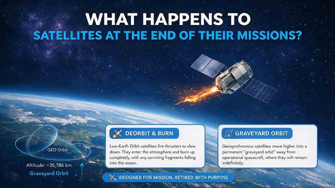
What Happens to Satellites at the End of Their Missions?
When a satellite reaches the end of its mission, it is not simply switched off and forgotten. Depending on its orbit, remaining fuel, control systems, and reentry risk, it may be guided into Earth’s atmosphere, moved to a higher disposal orbit, or left as a tracked non-functional object if recovery fails. This article explains how natural decay, assisted reentry, controlled reentry, graveyard orbits, and spacecraft passivation work. It also compares disposal strategies for low, medium, and geostationary Earth orbits, clarifies the limited scope of major regulatory requirements, and examines real-world examples such as ESA’s Aeolus and ClearSpace-1 missions. Original tools—including the Three-Finish Test and the Orbit–Control–Risk Framework—help readers distinguish mission completion from safe orbital and energy disposal. The guide is based on current NASA, FCC, ESA, UN, and IADC documentation.
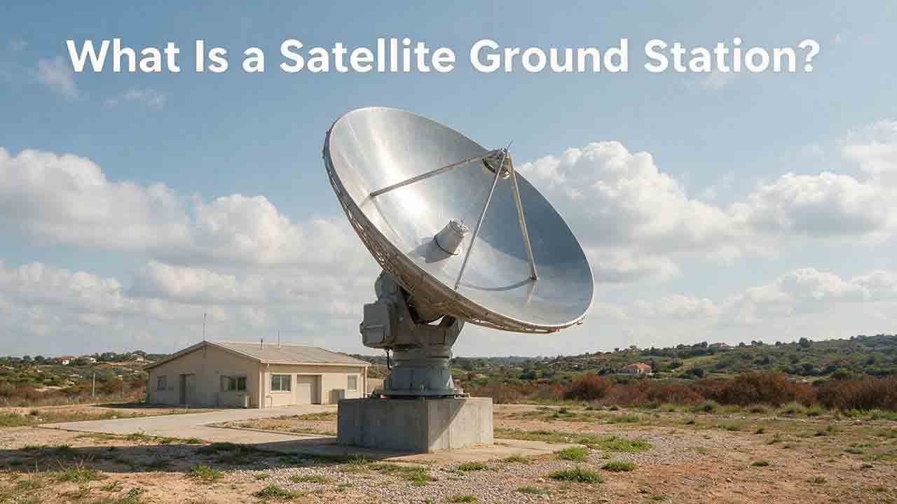
What Is a Satellite Ground Station?
A satellite ground station is the Earth-based link that allows spacecraft to exchange information with operators, processing systems, and data users. This guide explains how ground stations receive telemetry and payload data, support spacecraft tracking, and transmit authorized commands. It follows a satellite contact from pass prediction and antenna pointing through signal acquisition, decoding, terrestrial delivery, and mission use. Readers will also learn how antennas, amplifiers, modems, tracking systems, software, and networks work together; why location and orbit geometry matter; and how to estimate usable data from a single pass. The article includes an original PASS compatibility framework, a worked data-capacity example, a private-versus-managed-service comparison, a troubleshooting table, and a practical selection checklist. It also distinguishes ground stations, ground segments, and earth stations while explaining the engineering, security, licensing, and operational limits that mission teams must consider.
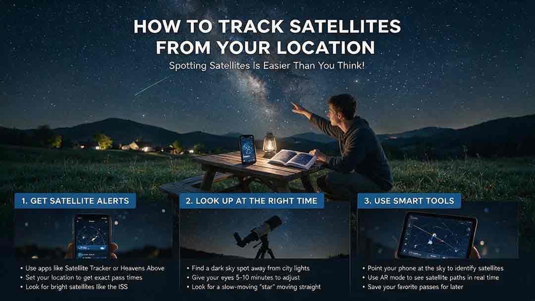
How to Track Satellites From Your Location
Tracking a satellite from your location becomes much easier once you know how to read a pass prediction. This practical guide explains how to select a reliable satellite tracker, confirm your observing location and local time, and interpret appearance direction, azimuth, elevation, maximum height, and visibility status. It provides a step-by-step beginner workflow for finding the International Space Station and other visible satellites, along with a comparison of tracking tools, a troubleshooting table, and a reusable observation log. Readers will also learn why a satellite may be above the horizon but remain invisible, how to distinguish satellites from aircraft, and how weather, local obstructions, outdated orbital data, and phone compass errors affect results. The guide includes the original CosmoBasics Local Pass Readiness Score for comparing viewing opportunities, plus advanced notes on TLE, GP, OMM, and the satellite catalog changes introduced in 2026.
Explore More Topics
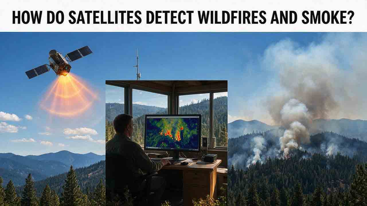
How Do Satellites Detect Wildfires and Smoke?
Satellites detect wildfires by measuring unusual heat in infrared wavelengths, while visible, multispectral, and aerosol observations help analysts follow smoke across the atmosphere. This guide explains how systems such as GOES, VIIRS, MODIS, Landsat, and Sentinel contribute different pieces of the wildfire-monitoring picture. Readers will learn why a thermal hotspot is not the same as an exact fire perimeter, why satellite smoke imagery cannot replace ground-level PM2.5 measurements, and how clouds, terrain, viewing geometry, and satellite overpass timing can affect detection. The article also compares commonly used fire and smoke products, explains fire radiative power and the Normalized Burn Ratio, and provides a practical framework for choosing the right map. A documented Camp Fire example shows how multiple satellite and surface datasets can complement one another. Satellite information is valuable for situational awareness, but official emergency agencies remain the appropriate source for evacuation orders, road closures, and immediate safety decisions.
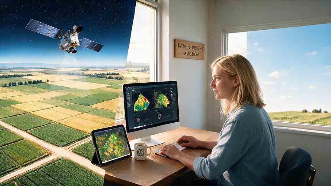
How Are Satellite Images Used in Agriculture?
Satellite images help farmers, agronomists, researchers, insurers, and public agencies monitor agricultural land across fields, regions, and growing seasons. This guide explains how optical, radar, thermal, and microwave satellite observations support crop-development monitoring, irrigation analysis, field mapping, flood and drought assessment, crop classification, and regional production forecasting. It distinguishes what satellites directly observe from calculated indices, classification results, and modeled estimates such as evapotranspiration. Readers will also learn how NDVI works, why spatial resolution and image timing matter, and when drones or field scouting are more appropriate. The original CosmoBasics SCALE Framework provides a practical way to decide whether satellite imagery fits a specific agricultural problem. Documented examples from USDA and OpenET show how operational products combine multiple observations, reference data, weather information, and models. Throughout the guide, satellite imagery is treated as a screening and monitoring tool—not a substitute for field verification, laboratory testing, or professional agricultural judgment.
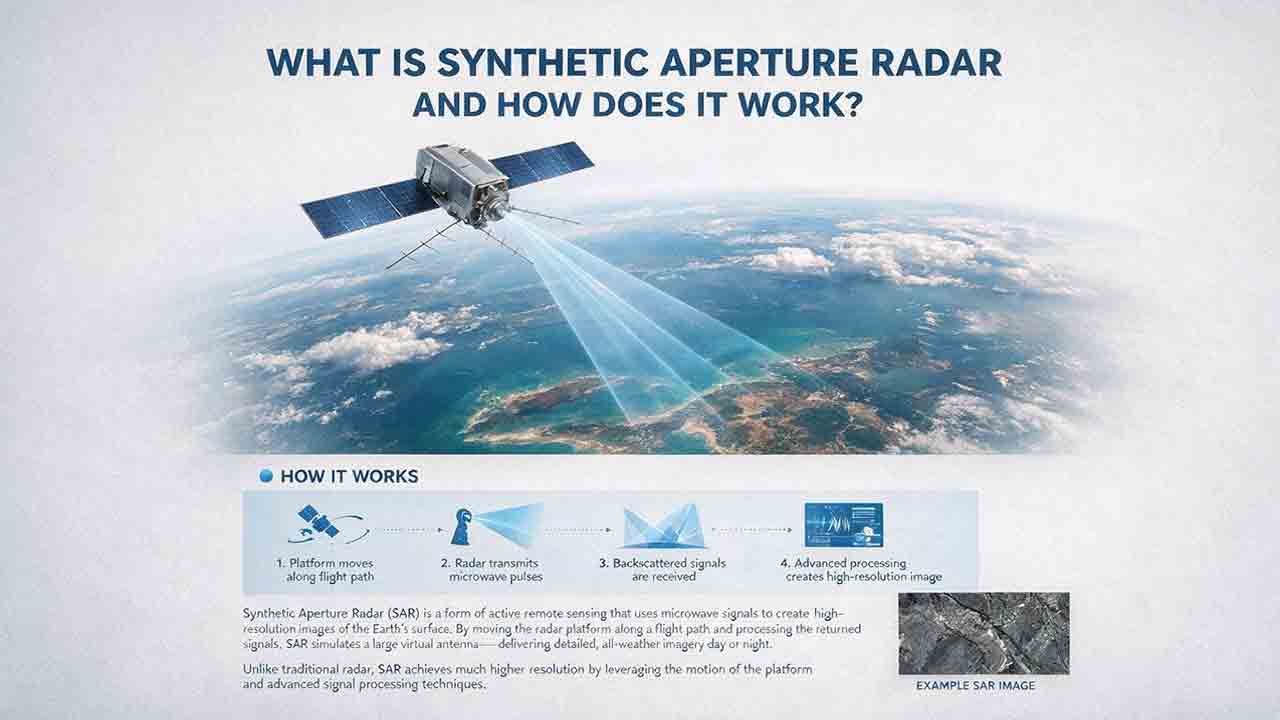
What Is Synthetic Aperture Radar and How Does It Work?
Synthetic aperture radar, or SAR, is an active Earth-observation technology that creates detailed images by transmitting microwave pulses and measuring the echoes returned from the surface. This article explains how a moving satellite or aircraft collects repeated observations to form a virtual antenna, why SAR can operate at night and through most cloud cover, and how amplitude, phase, wavelength, polarization, surface roughness, moisture, and viewing geometry affect radar imagery. It also distinguishes pixel spacing from true spatial resolution, provides a transparent range-resolution calculation, and compares SAR with optical satellite imagery. Practical sections examine scattering mechanisms, flood mapping, agriculture, forests, ice, maritime monitoring, and InSAR-based ground-deformation analysis. Original interpretation and data-selection frameworks help readers evaluate backscatter patterns, choose suitable products, identify common errors, troubleshoot unexpected results, and communicate uncertainty without treating derived radar products as guaranteed ground truth.