Earth Observation & Mapping
Explore 5 fascinating articles about earth observation & mapping
Explore Earth from space. Learn about satellite remote sensing, environmental monitoring, GIS, and global mapping technologies.
All Articles (5)
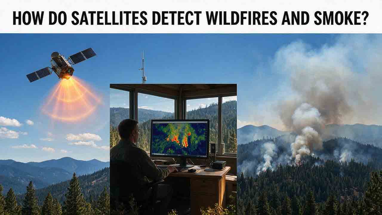
How Do Satellites Detect Wildfires and Smoke?
Satellites detect wildfires by measuring unusual heat in infrared wavelengths, while visible, multispectral, and aerosol observations help analysts follow smoke across the atmosphere. This guide explains how systems such as GOES, VIIRS, MODIS, Landsat, and Sentinel contribute different pieces of the wildfire-monitoring picture. Readers will learn why a thermal hotspot is not the same as an exact fire perimeter, why satellite smoke imagery cannot replace ground-level PM2.5 measurements, and how clouds, terrain, viewing geometry, and satellite overpass timing can affect detection. The article also compares commonly used fire and smoke products, explains fire radiative power and the Normalized Burn Ratio, and provides a practical framework for choosing the right map. A documented Camp Fire example shows how multiple satellite and surface datasets can complement one another. Satellite information is valuable for situational awareness, but official emergency agencies remain the appropriate source for evacuation orders, road closures, and immediate safety decisions.
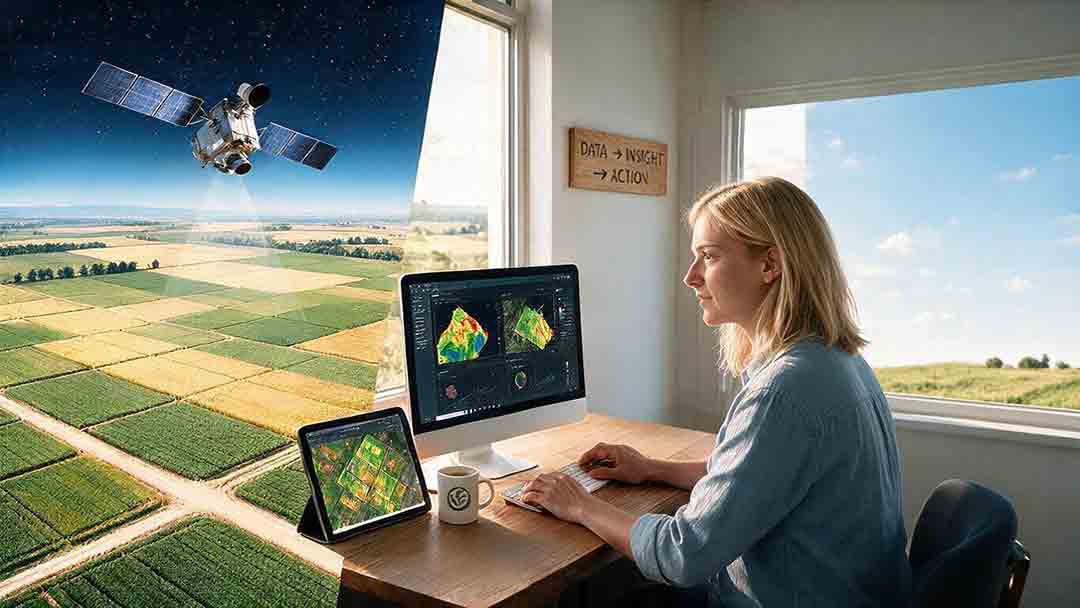
How Are Satellite Images Used in Agriculture?
Satellite images help farmers, agronomists, researchers, insurers, and public agencies monitor agricultural land across fields, regions, and growing seasons. This guide explains how optical, radar, thermal, and microwave satellite observations support crop-development monitoring, irrigation analysis, field mapping, flood and drought assessment, crop classification, and regional production forecasting. It distinguishes what satellites directly observe from calculated indices, classification results, and modeled estimates such as evapotranspiration. Readers will also learn how NDVI works, why spatial resolution and image timing matter, and when drones or field scouting are more appropriate. The original CosmoBasics SCALE Framework provides a practical way to decide whether satellite imagery fits a specific agricultural problem. Documented examples from USDA and OpenET show how operational products combine multiple observations, reference data, weather information, and models. Throughout the guide, satellite imagery is treated as a screening and monitoring tool—not a substitute for field verification, laboratory testing, or professional agricultural judgment.
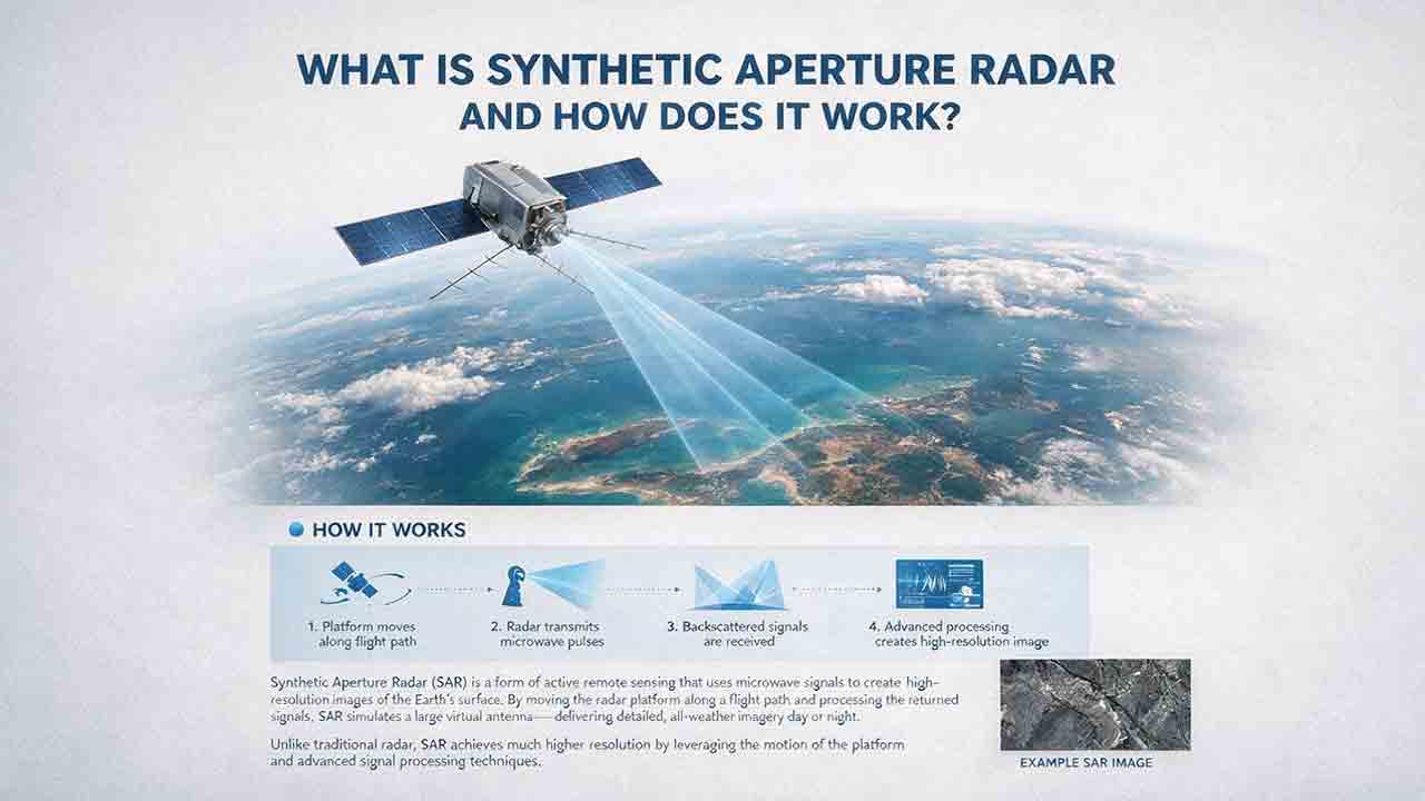
What Is Synthetic Aperture Radar and How Does It Work?
Synthetic aperture radar, or SAR, is an active Earth-observation technology that creates detailed images by transmitting microwave pulses and measuring the echoes returned from the surface. This article explains how a moving satellite or aircraft collects repeated observations to form a virtual antenna, why SAR can operate at night and through most cloud cover, and how amplitude, phase, wavelength, polarization, surface roughness, moisture, and viewing geometry affect radar imagery. It also distinguishes pixel spacing from true spatial resolution, provides a transparent range-resolution calculation, and compares SAR with optical satellite imagery. Practical sections examine scattering mechanisms, flood mapping, agriculture, forests, ice, maritime monitoring, and InSAR-based ground-deformation analysis. Original interpretation and data-selection frameworks help readers evaluate backscatter patterns, choose suitable products, identify common errors, troubleshoot unexpected results, and communicate uncertainty without treating derived radar products as guaranteed ground truth.
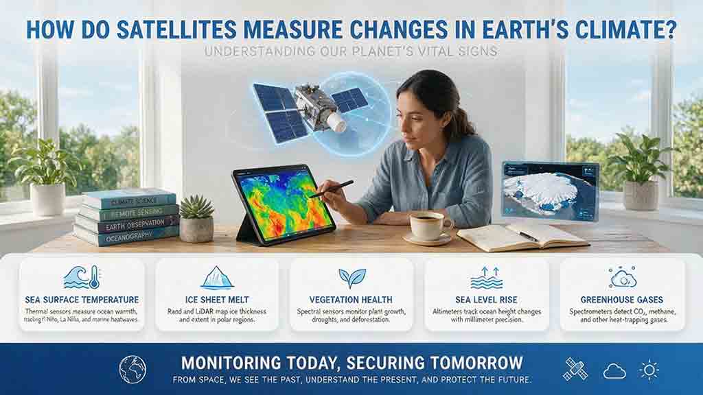
How Do Satellites Measure Changes in Earth’s Climate?
Satellites help scientists measure changes in Earth’s climate by repeatedly observing physical variables such as temperature, radiation, atmospheric gases, sea level, ice, soil moisture, vegetation, and land cover. Their instruments detect reflected sunlight, emitted heat, microwave energy, radar and laser travel time, and small changes in Earth’s gravity. These raw observations must be calibrated, corrected, validated, and combined across multiple missions before they can become reliable long-term climate records. This article explains the full path from sensor signal to scientific conclusion, including a practical sea-level measurement example. It also introduces the Signal-to-Claim Chain and the 4C Climate-Record Test, two reader frameworks for evaluating satellite datasets, maps, and climate claims by examining coverage, continuity, calibration, cross-checking, processing methods, and uncertainty.
How Do Weather Satellites Track Hurricanes?
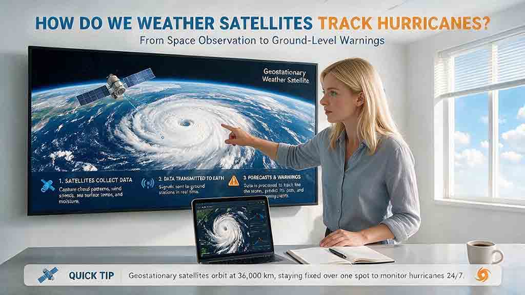
Weather satellites track hurricanes by combining frequent regional imagery with detailed measurements of clouds, rainfall, moisture, winds, lightning, and ocean conditions. This guide explains how geostationary satellites follow a storm’s movement and rapid structural changes, while polar-orbiting satellites reveal temperature, rainfall, and features hidden beneath upper cloud layers. It also shows how forecasters locate a hurricane’s center, estimate its speed and intensity, and use satellite observations to improve computer-model starting conditions. Practical sections explain the differences among visible, infrared, microwave, scatterometer, synthetic aperture radar, and precipitation products. An original Observe–Measure–Model framework, movement calculation, product-selection table, evidence-confidence guide, and Hurricane Milton case study demonstrate why no single image or instrument can describe an entire storm. The article also explains important limitations, common interpretation mistakes, and why official forecasts and local emergency guidance should always take priority in personal safety decisions.