Orbits, Tracking & Ground Systems
Explore 5 fascinating articles about orbits, tracking & ground systems
Master orbital mechanics and satellite communication. Explore how ground stations track and control satellites in Earth orbit.
All Articles (5)
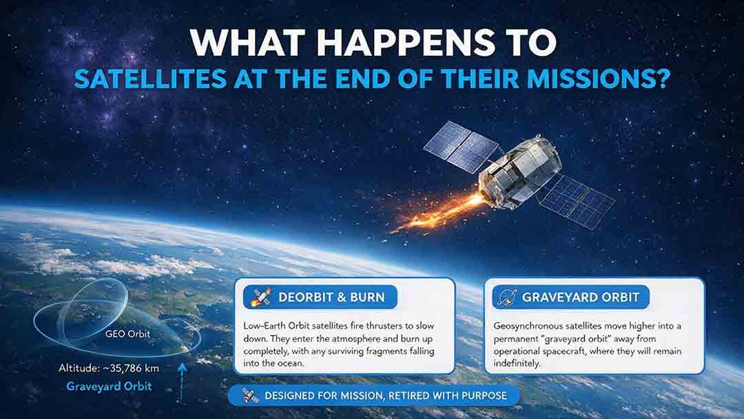
What Happens to Satellites at the End of Their Missions?
When a satellite reaches the end of its mission, it is not simply switched off and forgotten. Depending on its orbit, remaining fuel, control systems, and reentry risk, it may be guided into Earth’s atmosphere, moved to a higher disposal orbit, or left as a tracked non-functional object if recovery fails. This article explains how natural decay, assisted reentry, controlled reentry, graveyard orbits, and spacecraft passivation work. It also compares disposal strategies for low, medium, and geostationary Earth orbits, clarifies the limited scope of major regulatory requirements, and examines real-world examples such as ESA’s Aeolus and ClearSpace-1 missions. Original tools—including the Three-Finish Test and the Orbit–Control–Risk Framework—help readers distinguish mission completion from safe orbital and energy disposal. The guide is based on current NASA, FCC, ESA, UN, and IADC documentation.
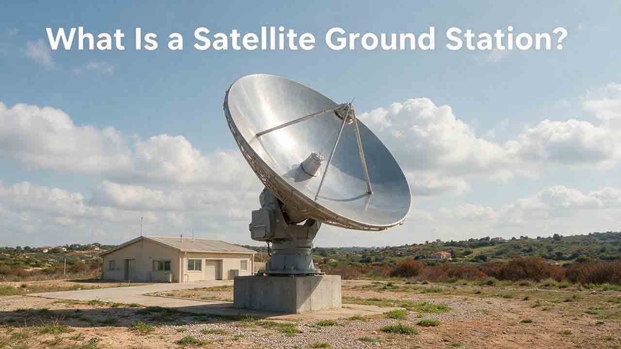
What Is a Satellite Ground Station?
A satellite ground station is the Earth-based link that allows spacecraft to exchange information with operators, processing systems, and data users. This guide explains how ground stations receive telemetry and payload data, support spacecraft tracking, and transmit authorized commands. It follows a satellite contact from pass prediction and antenna pointing through signal acquisition, decoding, terrestrial delivery, and mission use. Readers will also learn how antennas, amplifiers, modems, tracking systems, software, and networks work together; why location and orbit geometry matter; and how to estimate usable data from a single pass. The article includes an original PASS compatibility framework, a worked data-capacity example, a private-versus-managed-service comparison, a troubleshooting table, and a practical selection checklist. It also distinguishes ground stations, ground segments, and earth stations while explaining the engineering, security, licensing, and operational limits that mission teams must consider.
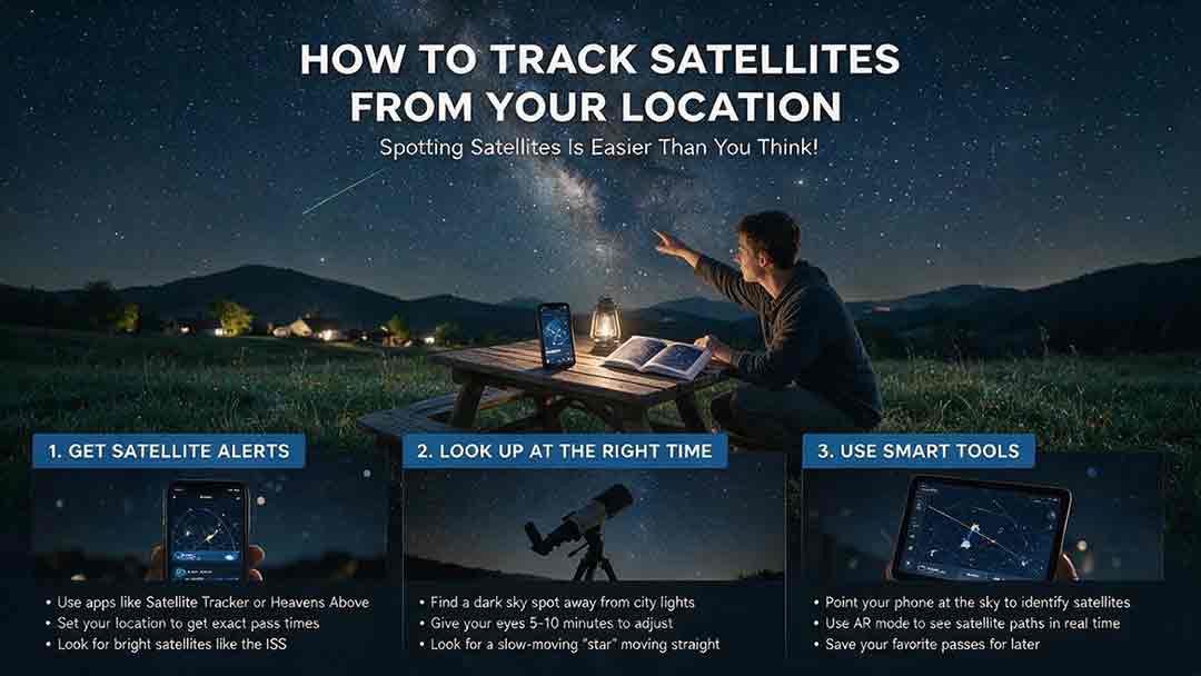
How to Track Satellites From Your Location
Tracking a satellite from your location becomes much easier once you know how to read a pass prediction. This practical guide explains how to select a reliable satellite tracker, confirm your observing location and local time, and interpret appearance direction, azimuth, elevation, maximum height, and visibility status. It provides a step-by-step beginner workflow for finding the International Space Station and other visible satellites, along with a comparison of tracking tools, a troubleshooting table, and a reusable observation log. Readers will also learn why a satellite may be above the horizon but remain invisible, how to distinguish satellites from aircraft, and how weather, local obstructions, outdated orbital data, and phone compass errors affect results. The guide includes the original CosmoBasics Local Pass Readiness Score for comparing viewing opportunities, plus advanced notes on TLE, GP, OMM, and the satellite catalog changes introduced in 2026.

How Do Satellites Stay in Orbit Without Falling?
Satellites stay in orbit because gravity continually pulls them toward Earth while their sideways velocity carries them forward fast enough to keep missing the surface. This guide explains that balance through clear orbital mechanics, a worked calculation for a simplified 400-kilometer circular orbit, and a one-second example showing how gravity bends a satellite’s path. It also compares low Earth orbit, medium Earth orbit, and geostationary orbit, explaining why orbital speed decreases as altitude increases. Readers will learn why satellites do not need continuous engine thrust, why the International Space Station requires periodic reboosts, how atmospheric drag and other disturbances change real orbits, and why inactive satellites can continue circling Earth. Practical tables, a three-check orbit framework, troubleshooting guidance, and a reality-check checklist help readers evaluate claims about satellites falling, drifting, reentering, or appearing stationary above one location.
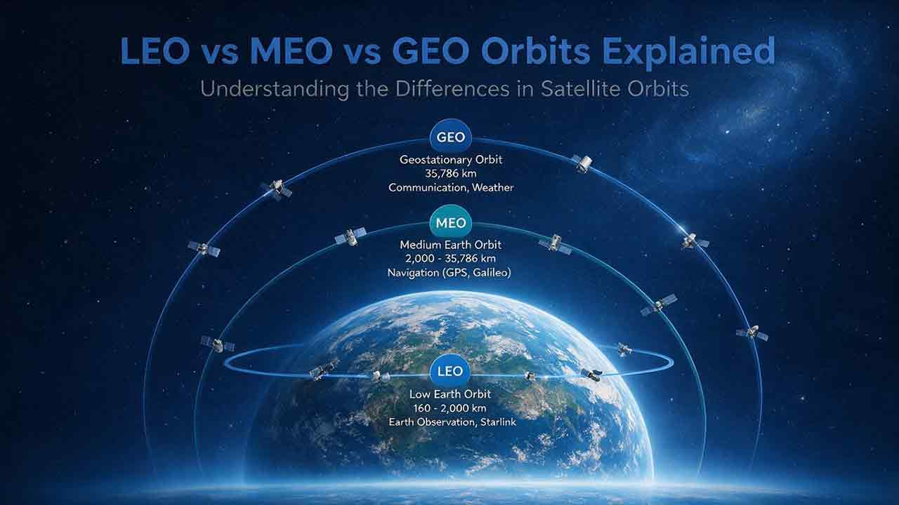
LEO vs MEO vs GEO Orbits Explained
LEO, MEO, and GEO place satellites at very different distances from Earth, creating important tradeoffs in coverage, orbital period, signal delay, ground equipment, and satellite count. This guide explains why low Earth orbit is commonly used for detailed Earth observation and lower-delay communications, why medium Earth orbit is well suited to navigation systems such as GPS, and why geostationary orbit supports continuous regional coverage and fixed ground antennas. It includes authoritative altitude and mission data from NASA, ESA, NOAA, and GPS.gov, along with transparent calculations comparing the theoretical space-segment delay of representative LEO, MEO, and GEO links. Readers will also find an altitude-ratio comparison, common orbit misconceptions, practical mission examples, and the CosmoBasics SCOPE Orbit-Fit Framework for organizing early orbit-selection decisions. The guide clearly distinguishes educational estimates from real engineering analysis and explains why coverage, capacity, latency, resilience, and total system cost must be evaluated together.