What Is a Satellite Ground Station?

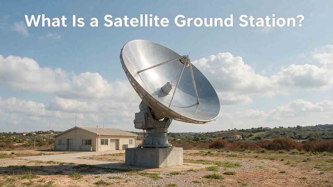
A satellite ground station is an Earth-based system that communicates with a spacecraft. It uses antennas, radio or optical equipment, tracking systems, software, and terrestrial networks to receive telemetry and payload data, support orbit determination, and transmit authorized commands. A single station may serve one mission, while a ground network can coordinate contacts with many spacecraft.
Key Takeaways
- A ground station connects a spacecraft with its operators, data systems, and users on Earth.
- It may receive telemetry, tracking measurements, and payload data while transmitting properly authorized commands.
- Frequency compatibility alone is not enough; polarization, modulation, coding, Doppler, protocols, security, and scheduling must also align.
- One station may support a delay-tolerant mission, while time-sensitive or data-intensive missions usually need a wider network.
- Operators can build a private station, purchase managed ground services, or combine both approaches.
This guide explains what happens during a satellite contact, what equipment a station needs, why location matters, how much data one pass may return, and how operators compare private, managed, and hybrid ground architectures.
What Does a Satellite Ground Station Do?
A satellite ground station creates the physical and digital link between a spacecraft and systems on Earth.
Depending on the mission, it may perform four main functions:
- Receive telemetry: Collect information about spacecraft health, power, temperature, attitude, software status, and onboard equipment.
- Support tracking: Produce or receive measurements used to estimate the spacecraft’s position and motion.
- Transmit commands: Send authorized instructions, schedules, configuration changes, or software updates.
- Receive payload data: Download the images, environmental observations, communications traffic, or scientific measurements produced by the mission.
The first three functions are commonly grouped under TT&C, meaning telemetry, tracking, and command or control.
According to NASA’s Ground Data Systems and Mission Operations overview, a ground station provides the TT&C interface with the spacecraft. Ground networks, control centers, remote terminals, and data systems perform broader ground-segment functions.
Telemetry and Payload Data Serve Different Purposes
Telemetry describes the condition and operation of the spacecraft. It may include battery voltage, solar-array output, equipment temperatures, attitude-control status, processor resets, and propulsion-system condition.
Payload data is the information the mission was designed to collect or relay. Examples include Earth-observation images, weather measurements, scientific instrument readings, communications traffic, navigation signals, and radar observations.
A station may receive both during the same contact, but the two data streams often follow different paths. Telemetry may need immediate review by spacecraft controllers, while a large payload dataset may be routed to a separate processing or distribution system.
How Is a Ground Station Different From a Ground Segment?
A ground station is the site and equipment directly involved in communicating with a spacecraft.
The ground segment is the wider collection of Earth-based systems used to operate the mission and deliver its information. It may include:
- One or more ground stations
- A mission operations center
- A payload or science operations center
- Terrestrial communication networks
- Data storage and processing systems
- Scheduling and monitoring software
- Cloud infrastructure
- User terminals
- Security and access-control systems
A mission may therefore use many ground stations as part of one coordinated ground segment.
An earth station is a related term frequently used in telecommunications and regulatory documents. It can refer to fixed, mobile, gateway, consumer, or other terrestrial equipment communicating through a satellite.
A home satellite terminal may qualify as an earth station in a broad telecommunications sense. It would not normally provide the tracking, mission scheduling, telemetry decoding, and command functions expected from an operational spacecraft ground station.
The distinction is more than vocabulary. Receiving a signal is only one stage of mission delivery. A technically successful pass can still produce a poor operational result if the information becomes delayed in storage, networking, authentication, or processing.
How Does a Satellite Contact Work?
A satellite contact is a planned operational sequence. The antenna may be the most visible component, but prediction, timing, radio configuration, software, and data handling determine whether the contact succeeds.
1. The Ground System Predicts the Pass
The system calculates when the spacecraft will become visible from the station.
For a low-Earth-orbit satellite, the prediction normally uses:
- Current orbital information
- Station latitude, longitude, and altitude
- Accurate time
- The station’s minimum usable elevation
- Terrain, buildings, trees, and other obstructions
A geostationary satellite may remain continuously visible from a suitable site. A LEO satellite normally crosses a station’s usable field of view for only part of each orbit.
2. The Contact Is Scheduled
The station reserves the antenna, radio equipment, modem, network capacity, and operational support needed for the pass.
Shared networks may serve many spacecraft. When passes overlap, operators may assign them to different antennas or prioritize one mission over another.
Launch, early-orbit operations, emergency recovery, maneuvers, and end-of-mission activities may receive priority over routine payload downloads.
3. The Antenna Points Toward the Spacecraft
Before the expected contact, the antenna moves to the predicted acquisition point.
For a moving spacecraft, the mount continually adjusts azimuth and elevation. The radio system may also compensate for Doppler shift, the apparent frequency change caused by relative motion between the spacecraft and station.
4. The Station Acquires the Signal
The start of a contact is known as acquisition of signal, or AOS.
The receiver searches within an expected frequency and timing range. It then attempts to lock onto the carrier, modulation, symbol timing, error-correction coding, and data frames.
The European Space Agency’s ESTRACK guide defines AOS as the beginning of a pass when the spacecraft becomes visible to the station. The contact ends at loss of signal, or LOS, when the spacecraft is no longer visible from that site.
5. The Station Converts the Signal Into Data
The received signal may be filtered, amplified, frequency-converted, demodulated, decoded, and checked for errors.
Telemetry can be displayed to spacecraft controllers. Payload data may instead be stored and transferred to a science center, cloud service, customer network, or archive.
A visible carrier does not guarantee usable data. The spacecraft and station must agree on the complete air interface, including frequency, bandwidth, polarization, modulation, symbol rate, coding, frame structure, protocols, and any required authentication or encryption settings.
6. Authorized Commands May Be Transmitted
If the station supports uplink operations, approved commands can be sent to the spacecraft.
A responsible command path may include operator authorization, command validation, authentication, encryption, role-based access controls, transmission approval, acknowledgment checks, and permanent logging.
Receiving a satellite signal does not authorize anyone to transmit toward that spacecraft.
7. The Contact Ends and the Results Are Reviewed
At LOS, the antenna stops tracking or prepares for another scheduled contact.
The station may record signal strength, antenna-pointing performance, bit or frame errors, data volume, command acknowledgments, equipment alarms, and delivery timestamps.
These records help operators distinguish an isolated failed pass from gradual degradation in the spacecraft, antenna, radio equipment, or ground network.
How Does Data Move From a Satellite to the User?
A simplified satellite-to-ground data path contains eight stages:
Satellite transmission
The spacecraft sends telemetry or payload data through a radio-frequency or optical link.Tracking antenna
The antenna points toward the spacecraft and collects the incoming signal.Low-noise amplification and frequency conversion
The station strengthens the weak signal and converts it into a form suitable for processing.Modem or software-defined radio
The equipment demodulates, decodes, and reconstructs the transmitted frames or packets.Station-control and data-handling software
Software manages the pass, monitors equipment, records results, and routes the data.Secure terrestrial network
The information travels from the antenna site to the mission or processing system.Mission operations or processing center
Controllers review telemetry, while data systems process, store, or distribute payload products.Mission users
Scientists, forecasters, customers, public agencies, or other authorized users receive the final information.
This is a conceptual model rather than an engineering design. A real architecture may add redundant receivers, encryption devices, packet processors, relay satellites, cloud services, or several operations centers.
The ground station is not finished doing its job when the carrier is decoded. Operational value is created only when accurate, usable information reaches the intended user within the required time.
What Equipment and Location Does a Ground Station Need?
A complete ground station combines antenna hardware, radio-frequency equipment, timing, computing, networking, power, and operational software.
Core Ground Station Equipment
| Component | Main function | Important considerations |
|---|---|---|
| Antenna | Collects downlink energy and directs uplink energy | Frequency, gain, beamwidth, polarization, pointing accuracy |
| Antenna mount | Moves or positions the antenna | Tracking speed, accuracy, mechanical range, wind loading |
| Feed system | Couples radio energy between the antenna and RF chain | Frequency band, polarization, insertion loss |
| Low-noise amplifier | Amplifies weak received signals | Noise figure, gain, frequency range, environmental protection |
| Filters and converters | Reject interference and translate frequencies | Selectivity, bandwidth, dynamic range, frequency stability |
| Power amplifier | Raises uplink power when transmission is required | Output power, linearity, duty cycle, authorized limits |
| Modem or software-defined radio | Modulates, demodulates, codes, and decodes signals | Waveform, data rate, coding, framing, Doppler support |
| Timing and tracking system | Maintains accurate time and antenna predictions | Clock accuracy, orbit data, station coordinates |
| Station-control software | Coordinates antennas, radios, schedules, and alarms | Automation, APIs, logging, access control |
| Network and storage | Delivers and retains received data | Capacity, latency, encryption, redundancy |
| Site infrastructure | Keeps the station operating safely | Backup power, grounding, cooling, weather protection |
Not every station needs the same equipment. A receive-only educational station may use a modest antenna and software-defined radio. A deep-space station may require a large precision antenna, very low-noise receivers, high-power transmitters, specialized ranging systems, and highly accurate timing.
NASA’s ground-system documentation includes parabolic and Yagi antennas, phased arrays, software-defined radios, optical equipment, mission software, storage, and terrestrial networks among possible ground-segment components.
Why the Station’s Location Matters
A station can communicate directly with a spacecraft only when the geometry, radio link, environment, and operating permissions allow it.
Line of sight and orbit geometry: Earth blocks a LEO satellite from any one ground site during most of its orbit. Geographically separated stations create more contact opportunities and may reduce the delay between data collection and delivery.
The most useful station latitude depends on the orbit. A high-latitude site may see frequent passes from a near-polar satellite, while a lower-inclination spacecraft requires stations within the latitudes reached by its ground track.
A geostationary satellite needs a clear view toward its apparent fixed position above the equator. Terrain, buildings, vegetation, and low elevation angles may reduce performance.
Interference and weather: A physically open site is not necessarily radio-quiet. Nearby transmitters, radar, industrial equipment, wireless networks, and future development can raise the local noise level or overload receiving equipment.
Weather effects depend on frequency, link margin, antenna design, and local climate. Rain attenuation, atmospheric absorption, snow, ice, moisture, wind, extreme temperatures, and lightning can all affect availability. Optical ground stations face the additional limitation that clouds may block the optical path entirely.
Terrestrial connectivity: A station also needs a dependable path from the antenna site to the mission team.
A high-rate downlink provides limited value if the local network, storage system, cloud connection, or processing pipeline cannot move the information onward quickly enough.
A station with a lower peak data rate may therefore deliver more useful mission data if it offers longer usable contacts, more reliable scheduling, and faster terrestrial delivery.
Common Ground Station Types
| Type | Primary function | Common use |
|---|---|---|
| Receive-only station | Receives beacons, telemetry, or public payload data | Education, research, weather reception, monitoring |
| TT&C station | Receives telemetry, supports tracking, and sends commands | Routine spacecraft operations |
| High-rate data station | Downloads large payload datasets | Earth observation, radar imaging, science missions |
| Gateway or teleport | Connects satellite capacity to terrestrial networks | Broadband, broadcasting, commercial communications |
| Direct-broadcast station | Receives locally useful data from passing satellites | Weather and environmental monitoring |
| Deep-space station | Communicates with distant spacecraft | Lunar, planetary, and heliophysics missions |
| Optical ground station | Uses laser or optical communication | Experimental and high-capacity links |
| Mobile or deployable station | Operates temporarily or changes location | Launch support, field operations, contingency use |
ESA’s tracking network supports spacecraft during launch, early operations, routine mission phases, critical maneuvers, science-data return, and end-of-mission activities.
More information is available in ESA’s Ground Station Engineering overview.
How Much Data Can One Pass Return?
A useful planning estimate is:
Usable data volume ≈ data rate × pass duration × usable-contact fraction × delivery efficiency ÷ 8
Use the following units:
- Data rate: bits per second
- Pass duration: seconds
- Usable-contact fraction: a value from 0 to 1
- Delivery efficiency: a value from 0 to 1
- Division by eight: converts bits to bytes
The usable-contact fraction represents the portion of the geometric pass that can actually support the required link. Delivery efficiency represents protocol overhead and other assumed losses between the nominal radio rate and useful delivered data.
Worked Example
Assume:
- Downlink rate: 50 megabits per second
- Geometric pass duration: 10 minutes
- Usable-contact fraction: 70%
- Delivery efficiency: 85%
Calculation:
50,000,000 × 600 × 0.70 × 0.85 ÷ 8
= 2,231,250,000 bytes
That equals approximately:
- 2.23 GB using decimal gigabytes
- 2.08 GiB using binary gibibytes
One decimal gigabyte equals 1,000,000,000 bytes. One gibibyte equals 1,073,741,824 bytes.
The 50 Mbps rate, 70% usable-contact fraction, and 85% delivery efficiency are illustrative assumptions. They are not performance claims for a real spacecraft, station, product, or service provider.
How Data Rate Changes the Estimate
The following comparison keeps the same 10-minute pass, 70% usable-contact fraction, and 85% efficiency while changing only the nominal data rate.
| Nominal data rate | Estimated usable data per pass |
|---|---|
| 10 Mbps | 0.45 GB |
| 50 Mbps | 2.23 GB |
| 100 Mbps | 4.46 GB |
Actual delivery may be lower because of acquisition time, low-elevation signal loss, protocol overhead, packet loss, retransmission, antenna slewing, weather, interference, spacecraft pointing limits, shared scheduling, or downstream network delays.
A published peak data rate is not the same as usable daily data capacity.
How Can You Check Ground Station Compatibility?
Ground-station compatibility depends on the complete end-to-end service, not one matching frequency.
The following CosmoBasics PASS Check is an editorial decision framework created for this guide. It is not a NASA, ESA, CCSDS, ITU, regulatory, certified, or industry-standard engineering method.
P — Path and Position
Confirm that:
- The station can see the spacecraft’s orbit.
- Expected pass frequency meets mission needs.
- Usable pass duration is sufficient.
- Terrain and elevation masks are acceptable.
- The antenna can track the spacecraft’s apparent motion.
- Geographic coverage meets the mission’s latency requirement.
A — Air Interface
Confirm compatibility for:
- Uplink and downlink frequencies
- Channel bandwidth
- Polarization
- Modulation
- Symbol rate
- Forward-error correction
- Data framing
- Communication protocols
- Doppler range and compensation
- Spacecraft and ground antenna performance
- Link margin
A simplified received-power relationship is:
Received power at the receiver input ≈ spacecraft EIRP + receiving-antenna gain − free-space path loss − other link losses
The terms must be expressed in compatible logarithmic units.
This is an explanatory relationship, not a complete engineering link budget. A mission analysis may also need to account for receiver noise temperature, carrier-to-noise density, required Eb/N0, coding gain, atmospheric loss, pointing loss, polarization mismatch, cable loss, interference, implementation margin, and availability targets.
S — Service and Scheduling
Confirm:
- Required contacts per day
- Maximum time between contacts
- Daily and peak data volume
- Scheduling priority
- Emergency access
- Launch and commissioning support
- Data-delivery deadline
- Capacity during overlapping demand
- Support hours and response procedures
S — Safeguards and Sustainability
Confirm:
- Spectrum authorization
- Frequency coordination
- Spacecraft-operator authorization
- Command authentication
- Encryption and key management
- Network security
- Access controls
- Power and network redundancy
- Backup sites
- Maintenance and spare-parts plans
- Long-term contractual support
A station can pass the radio-compatibility check and still fail operationally because of poor coverage, limited scheduling, regulatory restrictions, weak security, or delayed terrestrial delivery.
Should You Build a Station or Buy a Service?
The right approach depends on mission duration, contact demand, security, geographic coverage, staff capability, and lifecycle cost.
NASA’s ground-system guidance uses Ground Segment as a Service, abbreviated GSaaS, as a broad category. Commercial providers may describe individual offerings as “ground station as a service,” although their packages can include more than antenna access.
Depending on the provider, a managed service may include scheduling, modems, data transport, cloud delivery, mission software, monitoring, and operational support.
| Option | Best suited to | Main tradeoff |
|---|---|---|
| Private station | Long-running, specialized, security-sensitive, or high-control missions | Greater ownership, staffing, licensing, and maintenance burden |
| Managed ground service | Standardized missions needing access to several regions | Shared capacity, provider limits, and continuing service fees |
| Hybrid architecture | Missions needing dedicated critical contacts plus wider routine coverage | More integration and operational coordination |
Private Station
A private station may be appropriate when the mission uses unusual frequencies, waveforms, antennas, or security controls, or when dedicated scheduling is essential.
Ownership provides control, but it also makes the operator responsible for maintenance, staffing, upgrades, backup systems, cybersecurity, and applicable regulatory obligations.
Managed Ground Service
A managed service can reduce deployment time and provide access to several geographic regions without requiring the mission team to construct every site.
The operator must still evaluate capacity, scheduling priority, data handling, service continuity, security responsibilities, technical support, onboarding requirements, and contract terms.
Hybrid Architecture
A hybrid architecture can reserve an owned station for critical commands while using shared networks for routine payload downloads or backup coverage.
This may improve resilience, but it introduces more providers, interfaces, security boundaries, and operating procedures.
Compare total lifecycle cost rather than antenna price alone. A realistic estimate may include:
- Site acquisition and construction
- Equipment and installation
- Licensing and coordination
- Staffing and training
- Integration testing
- Maintenance and spare parts
- Terrestrial connectivity
- Cybersecurity
- Software and cloud services
- Insurance
- Upgrades
- Decommissioning
What Does a Real Ground System Look Like?
NOAA’s Joint Polar Satellite System shows why a ground system is more than an antenna and receiver.
The JPSS Ground System uses antennas, communication networks, and processing facilities to command and control satellites, receive observations, route data, create environmental products, and distribute those products to users.
According to NOAA NESDIS, direct-broadcast sites reduced the average time needed to capture polar-satellite data and turn it into forecast information from more than 100 minutes to less than 20 minutes.
That figure describes NOAA’s specific direct-broadcast implementation. It should not be treated as a general performance promise for every ground station or weather-satellite system.
The practical lesson is broader: ground-system performance should be measured by useful information delivered on time—not only by antenna diameter, received signal strength, or peak data rate.
What Common Planning Mistakes Cause Problems?
Choosing the Antenna Before Defining the Mission
A larger antenna is not automatically the correct antenna.
Start with orbit, frequency, data volume, latency, spacecraft transmitter power, tracking requirements, link margin, and operational availability. Antenna size should follow from those requirements.
Assuming the Entire Pass Is Usable
Geometric visibility begins before a reliable communication link necessarily exists.
Low elevation, obstructions, pointing uncertainty, acquisition time, Doppler error, and limited link margin can reduce the usable part of a pass.
Checking Frequency but Ignoring the Complete Interface
Two systems may operate in the same frequency band and still be incompatible.
Polarization, bandwidth, modulation, coding, framing, symbol rate, timing, protocols, and security settings must also match.
Treating Reception and Transmission as Equivalent
A station that receives a signal may not be equipped, authorized, or permitted to transmit.
Uplink operation requires compatible hardware, sufficient authorized power, command-security controls, spacecraft-operator permission, and compliance with applicable regulations.
Starting Regulatory Work Too Late
Spectrum requirements can affect the site, frequency, antenna, operating power, service type, and schedule.
The FCC’s Earth Station Licensing overview explains the authorization framework for covered earth-station operations in the United States and identifies application information such as the proposed service, frequencies, points of communication, and technical configuration.
Requirements differ by jurisdiction and operating arrangement. Government authorization and spacecraft-operator permission are separate matters, and one does not automatically replace the other.
Ignoring End-to-End Delivery
A radio contact can succeed while the mission result fails.
Storage queues, network congestion, firewall rules, expired credentials, cloud-ingestion failures, processing backlogs, routing errors, and time-synchronization problems can delay information after the signal has been decoded.
Skipping End-to-End Testing
A laboratory radio test does not prove that the operational system will work.
Testing may need to cover spacecraft configuration, antenna polarization, the expected Doppler profile, modem behavior, coding, frame decoding, authentication, command handling, mission software, networks, storage, and the final delivery interface.
Relying on One Contact Path
A single station may be affected by weather, interference, hardware failure, power loss, network outages, maintenance, or scheduling conflicts.
The amount of redundancy should reflect the operational consequences of a missed contact.
How Do You Troubleshoot a Failed Contact?
The table below connects common contact symptoms with the first areas operators should investigate.
| Symptom | Likely areas to investigate | First checks |
|---|---|---|
| Antenna points incorrectly | Time, orbit data, coordinates, reference settings | Verify the clock, station location, ephemeris, and prediction software |
| No signal at AOS | Frequency, polarization, pass prediction, RF path | Confirm spacecraft mode, receiver settings, and antenna path |
| Signal is weaker than expected | Pointing error, cable loss, weather, interference, amplifier fault | Check noise floor, beacon level, LNA power, and calibration |
| Carrier appears but modem does not lock | Doppler, symbol rate, modulation, coding | Compare the active modem profile with spacecraft settings |
| Modem locks but data is unreadable | Framing, protocol, encryption, decoder configuration | Inspect frame counters, keys, protocol versions, and logs |
| Downlink works but uplink fails | Transmitter, authorization, frequency offset, command inhibit | Confirm authorization, output power, security state, and spacecraft receive mode |
| Data arrives late | Network, storage, processing, or routing delay | Trace timestamps from RF reception to final delivery |
| Only low-elevation contacts fail | Terrain, multipath, atmosphere, weak link margin | Raise the elevation mask or improve link performance |
| Only one station fails | Local hardware, timing, interference, weather, or network issue | Compare logs and spectrum conditions with another site |
Practical Diagnostic Order
- Confirm the correct spacecraft and scheduled pass.
- Verify station time and geographic coordinates.
- Check orbital information and antenna pointing.
- Confirm frequency, bandwidth, polarization, and Doppler settings.
- Inspect receiver gain, noise level, RF power, and equipment alarms.
- Verify modulation, coding, framing, protocols, and security settings.
- Trace the data through storage, networks, and processing.
- Compare the result with another station or independent receiver when available.
Change one controlled variable at a time. Multiple simultaneous changes can hide the original cause and make the next pass harder to interpret.
Ground Station Selection Checklist
Mission Requirements
- Spacecraft orbit and expected operational lifetime are defined.
- TT&C requirements are separated from payload-data requirements.
- Maximum acceptable communication latency is documented.
- Daily and peak data volumes are estimated.
- Launch, commissioning, and emergency needs are included.
- The consequences of missed contacts are understood.
Radio Compatibility
- Uplink and downlink frequencies are confirmed.
- Bandwidth and polarization match.
- Modulation, coding, framing, and protocols are compatible.
- Doppler range and correction are supported.
- Antenna gain and tracking accuracy are sufficient.
- A mission-specific link budget has been evaluated by qualified personnel.
Coverage and Capacity
- Station locations match the spacecraft’s orbit.
- Minimum usable elevation is defined.
- Expected usable pass duration is estimated.
- Scheduling capacity is available.
- Peak mission periods are covered.
- Backup contacts or sites are planned where necessary.
Operations and Integration
- Station interfaces work with mission software.
- Data-delivery methods and deadlines are documented.
- Command roles and approval procedures are defined.
- Logs and pass metrics are accessible.
- End-to-end testing is included.
- Support hours match operational needs.
Compliance and Resilience
- Applicable spectrum rules have been reviewed.
- Required coordination and authorization are complete.
- Spacecraft-operator permission is documented.
- Command credentials and keys are protected.
- Power and network backups are available.
- Recovery procedures have been tested.
- Maintenance and spare-parts plans are documented.
What Are the Main Advantages and Limitations?
Ground stations provide direct operational access, but their usefulness remains constrained by visibility, compatibility, infrastructure, and authorization.
| Advantages | Limitations |
|---|---|
| Direct telemetry and payload-data reception | One site has limited access to moving LEO satellites |
| Authorized command and software-update capability | Hardware and software must match the spacecraft |
| Potentially high direct-to-Earth data rates | Weather and interference can reduce availability |
| Ground equipment can be maintained or upgraded | Transmission may require authorization and coordination |
| Networks can improve coverage and reduce latency | Shared services may have scheduling constraints |
| Multiple sites can provide resilience | Reliable operation requires skilled staff and secure networks |
Relay satellites can reduce direct-visibility gaps, but they introduce another communication link with its own capacity, compatibility, cost, and operational requirements.
NASA’s Near Space Network combines direct-to-Earth ground assets with space-relay services to support spacecraft communications, tracking, and data delivery.
The Practical Bottom Line
A satellite ground station is the operational bridge between a spacecraft and the people or systems that use it.
The antenna may be the most visible component, but mission success depends on the complete chain: accurate pass prediction, compatible radio or optical equipment, reliable tracking, correct decoding, secure command handling, sufficient scheduling capacity, fast terrestrial delivery, regulatory compliance, and operational resilience.
The best station is not necessarily the largest, fastest, or most expensive. It is the station or network that delivers the required data and command access with acceptable latency, reliability, security, and lifecycle cost.
Recommended Next Step by User Type
| User type | Recommended next step |
|---|---|
| General reader | Learn how satellite passes and line-of-sight visibility work |
| Student or educator | Begin with a lawful receive-only project using documented public signals |
| Amateur operator | Confirm frequency privileges and authorization before transmitting |
| CubeSat team | Complete a mission-specific link budget and PASS review before selecting hardware |
| Commercial operator | Compare providers using identical coverage, capacity, security, and delivery criteria |
| Critical mission team | Design primary and backup contact paths and test recovery procedures before launch |
Frequently Asked Questions
Does Every Satellite Need a Ground Station?
An operational satellite mission needs a ground segment or another communication path that ultimately connects to Earth-based systems.
A spacecraft may communicate directly with a ground station or through a relay satellite. Even when a relay is used, ground infrastructure is still required to operate the mission and deliver its data.
How Many Ground Stations Does a LEO Satellite Need?
A low-data, delay-tolerant mission may operate with one station. A mission requiring frequent commands, rapid delivery, greater daily capacity, or stronger resilience may need several geographically distributed sites.
The correct number depends on the orbit, station locations, usable pass duration, scheduling availability, data rate, and maximum acceptable latency.
Can One Ground Station Support Multiple Satellites?
Yes. One station can support several spacecraft when its antenna, radio equipment, software, authorization, and schedule are compatible with each mission.
A conventional single-beam antenna normally cannot track widely separated spacecraft simultaneously. Overlapping contacts may require another antenna, another site, a phased array, or scheduling priority.
Is a Home Satellite Dish a Ground Station?
A home satellite terminal can be considered an earth station in a broad telecommunications sense.
It is not normally a spacecraft-operations ground station because it generally lacks mission scheduling, telemetry decoding, tracking measurements, command authorization, and spacecraft-control systems.
Can an Individual Build a Satellite Ground Station?
An individual can build a receive-only station for suitable public, educational, weather, or amateur signals using compatible equipment.
Transmission is different. It may require government authorization, frequency coordination, an appropriate operator license, and permission from the spacecraft operator. Never transmit toward a satellite without confirming all applicable requirements.
Are All Satellite Ground Stations Radio-Based?
No. Most operational stations use radio frequencies, but optical ground stations communicate with lasers or other optical signals.
Optical links can support high data capacity but require precise pointing and a clear atmospheric path. Clouds can prevent an optical contact even when a radio link remains usable.
Sources
NASA — Ground Data Systems and Mission Operations
NASA’s 2026 overview of ground-system architecture, ground stations, frequency planning, managed services, mission operations, security, and equipment categories.NASA — Near Space Network
Official information about NASA’s direct-to-Earth assets, commercial ground services, and space-relay capabilities.European Space Agency — ESTRACK Now: The Guide
ESA definitions of satellite passes, acquisition of signal, loss of signal, telemetry, and ground-station contact terminology.European Space Agency — Ground Station Engineering
Official overview of ESA ground-station systems, antennas, radio and optical links, tracking, and mission support.NOAA NESDIS — Satellite Ground Systems
Operational example showing how antennas, communication networks, processing facilities, direct broadcast, and product distribution work together.Federal Communications Commission — Overview of Earth Station Licensing and License Contents
United States guidance concerning earth-station authorization, applications, operating control, frequencies, and coordination.
How This Article Was Prepared
This guide is based on publicly available documentation from NASA, ESA, NOAA, and the FCC, together with transparent explanatory calculations and practical selection criteria.
The article does not claim:
- Hands-on testing of ground-station products or services
- A provider ranking
- Product endorsement
- Guaranteed mission performance
- Approval by NASA, ESA, NOAA, the FCC, or another institution
- Independent professional engineering or legal review
The PASS Check, data-capacity worksheet, diagnostic order, and simplified data path are original editorial tools created for this guide. They help readers organize questions but do not replace formal standards, qualified engineering analysis, or regulatory review.
Engineering and Legal Boundary
This article provides general educational information.
It is not a substitute for mission-specific systems engineering, a complete RF or optical link budget, antenna-site engineering, spectrum coordination, licensing or legal advice, cybersecurity assessment, safety analysis, contract review, or regulatory review.
Requirements differ by country, frequency, radio service, orbit, spacecraft, station location, and system configuration.
Anyone planning to transmit, command a spacecraft, or operate regulated equipment should obtain appropriate technical guidance and confirm the requirements of the relevant authorities and spacecraft operator before proceeding.
More from Orbits, Tracking & Ground Systems
What Happens to Satellites at the End of Their Missions?
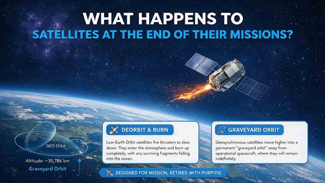
When a satellite reaches the end of its mission, it is not simply switched off and forgotten. Depending on its orbit, remaining fuel, control systems, and reentry risk, it may be guided into Earth’s atmosphere, moved to a higher disposal orbit, or left as a tracked non-functional object if recovery fails. This article explains how natural decay, assisted reentry, controlled reentry, graveyard orbits, and spacecraft passivation work. It also compares disposal strategies for low, medium, and geostationary Earth orbits, clarifies the limited scope of major regulatory requirements, and examines real-world examples such as ESA’s Aeolus and ClearSpace-1 missions. Original tools—including the Three-Finish Test and the Orbit–Control–Risk Framework—help readers distinguish mission completion from safe orbital and energy disposal. The guide is based on current NASA, FCC, ESA, UN, and IADC documentation.
How to Track Satellites From Your Location
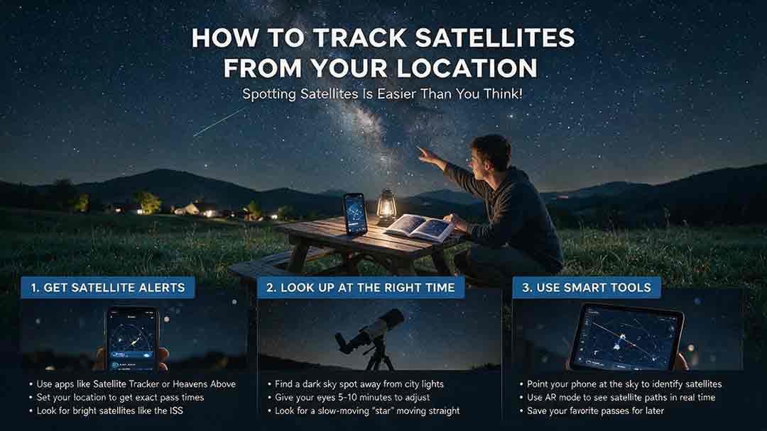
Tracking a satellite from your location becomes much easier once you know how to read a pass prediction. This practical guide explains how to select a reliable satellite tracker, confirm your observing location and local time, and interpret appearance direction, azimuth, elevation, maximum height, and visibility status. It provides a step-by-step beginner workflow for finding the International Space Station and other visible satellites, along with a comparison of tracking tools, a troubleshooting table, and a reusable observation log. Readers will also learn why a satellite may be above the horizon but remain invisible, how to distinguish satellites from aircraft, and how weather, local obstructions, outdated orbital data, and phone compass errors affect results. The guide includes the original CosmoBasics Local Pass Readiness Score for comparing viewing opportunities, plus advanced notes on TLE, GP, OMM, and the satellite catalog changes introduced in 2026.

How Do Satellites Stay in Orbit Without Falling?
Satellites stay in orbit because gravity continually pulls them toward Earth while their sideways velocity carries them forward fast enough to keep missing the surface. This guide explains that balance through clear orbital mechanics, a worked calculation for a simplified 400-kilometer circular orbit, and a one-second example showing how gravity bends a satellite’s path. It also compares low Earth orbit, medium Earth orbit, and geostationary orbit, explaining why orbital speed decreases as altitude increases. Readers will learn why satellites do not need continuous engine thrust, why the International Space Station requires periodic reboosts, how atmospheric drag and other disturbances change real orbits, and why inactive satellites can continue circling Earth. Practical tables, a three-check orbit framework, troubleshooting guidance, and a reality-check checklist help readers evaluate claims about satellites falling, drifting, reentering, or appearing stationary above one location.
Explore More Topics
How Do Satellites Detect Wildfires and Smoke?
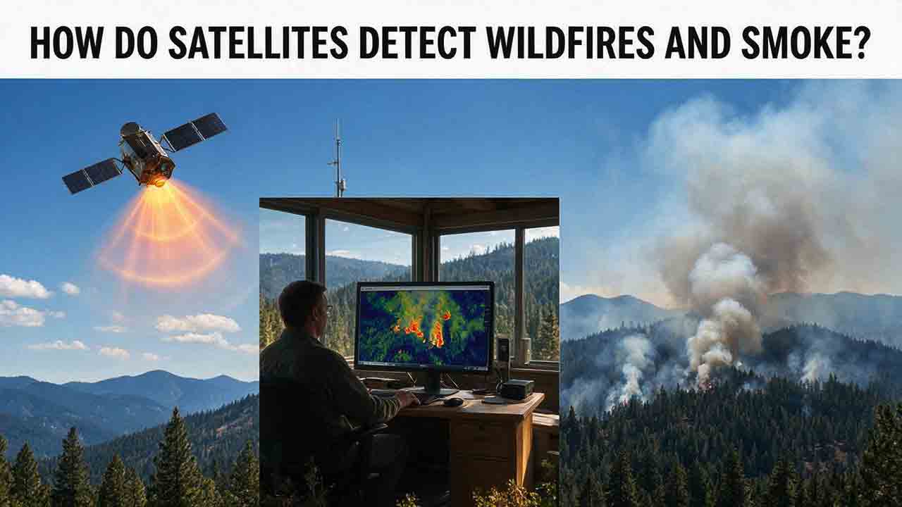
Satellites detect wildfires by measuring unusual heat in infrared wavelengths, while visible, multispectral, and aerosol observations help analysts follow smoke across the atmosphere. This guide explains how systems such as GOES, VIIRS, MODIS, Landsat, and Sentinel contribute different pieces of the wildfire-monitoring picture. Readers will learn why a thermal hotspot is not the same as an exact fire perimeter, why satellite smoke imagery cannot replace ground-level PM2.5 measurements, and how clouds, terrain, viewing geometry, and satellite overpass timing can affect detection. The article also compares commonly used fire and smoke products, explains fire radiative power and the Normalized Burn Ratio, and provides a practical framework for choosing the right map. A documented Camp Fire example shows how multiple satellite and surface datasets can complement one another. Satellite information is valuable for situational awareness, but official emergency agencies remain the appropriate source for evacuation orders, road closures, and immediate safety decisions.

How Are Satellite Images Used in Agriculture?
Satellite images help farmers, agronomists, researchers, insurers, and public agencies monitor agricultural land across fields, regions, and growing seasons. This guide explains how optical, radar, thermal, and microwave satellite observations support crop-development monitoring, irrigation analysis, field mapping, flood and drought assessment, crop classification, and regional production forecasting. It distinguishes what satellites directly observe from calculated indices, classification results, and modeled estimates such as evapotranspiration. Readers will also learn how NDVI works, why spatial resolution and image timing matter, and when drones or field scouting are more appropriate. The original CosmoBasics SCALE Framework provides a practical way to decide whether satellite imagery fits a specific agricultural problem. Documented examples from USDA and OpenET show how operational products combine multiple observations, reference data, weather information, and models. Throughout the guide, satellite imagery is treated as a screening and monitoring tool—not a substitute for field verification, laboratory testing, or professional agricultural judgment.
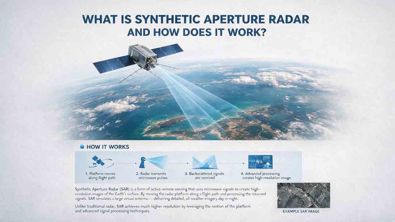
What Is Synthetic Aperture Radar and How Does It Work?
Synthetic aperture radar, or SAR, is an active Earth-observation technology that creates detailed images by transmitting microwave pulses and measuring the echoes returned from the surface. This article explains how a moving satellite or aircraft collects repeated observations to form a virtual antenna, why SAR can operate at night and through most cloud cover, and how amplitude, phase, wavelength, polarization, surface roughness, moisture, and viewing geometry affect radar imagery. It also distinguishes pixel spacing from true spatial resolution, provides a transparent range-resolution calculation, and compares SAR with optical satellite imagery. Practical sections examine scattering mechanisms, flood mapping, agriculture, forests, ice, maritime monitoring, and InSAR-based ground-deformation analysis. Original interpretation and data-selection frameworks help readers evaluate backscatter patterns, choose suitable products, identify common errors, troubleshoot unexpected results, and communicate uncertainty without treating derived radar products as guaranteed ground truth.