GPS, Timing & Navigation
Explore 5 fascinating articles about gps, timing & navigation
Discover the physics and technology behind global navigation satellite systems. Learn how GPS, Galileo, and GLONASS synchronize our world.
All Articles (5)
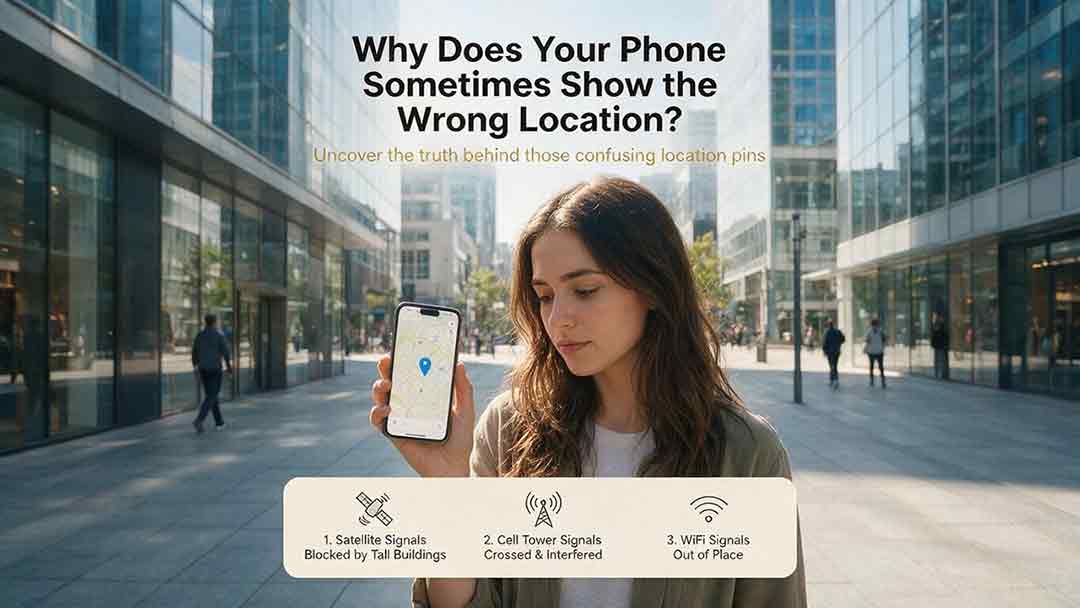
Why Does Your Phone Sometimes Show the Wrong Location?
A phone’s location can appear incorrect even when its GPS hardware is functioning normally. Modern smartphones estimate position by combining satellite signals with Wi-Fi, cellular networks, Bluetooth, motion sensors, app permissions, and map data. This guide explains how blocked or reflected signals, cached locations, approximate permissions, battery restrictions, compass errors, and inaccurate map pins can affect the blue dot. It introduces two practical CosmoBasics troubleshooting tools—the Two Apps, Two Places Rule and the PLACE Test—to help readers distinguish app problems, environmental interference, stale data, mapping errors, and possible device-level issues. The article also provides step-by-step fixes for iPhone and Android, explains realistic smartphone accuracy under open-sky and indoor conditions, and identifies when contacting the manufacturer may be appropriate. All major technical claims are supported by first-party documentation from GPS.gov, Apple, Android, Google Maps, and Google for Developers.
How Accurate Is Consumer GPS?
Consumer GPS can often estimate horizontal position within about 5 meters under open sky, but actual accuracy varies significantly with the device, satellite geometry, signal blockage, reflected signals, antenna placement, and software processing. This guide explains what GPS accuracy figures really mean, why an app’s accuracy circle is not the same as measured error, and why smartphone references, Android confidence estimates, and government GPS performance standards should not be treated as interchangeable. It introduces the CosmoBasics Target Separation Test, a practical framework for deciding whether GPS uncertainty is small enough for a specific task. Readers will also learn how smartphones combine GNSS, Wi-Fi, cellular data, and sensors; how dual-frequency reception may improve performance; why altitude is less reliable than horizontal position; and how to test and troubleshoot a device. The article clearly identifies situations where consumer GPS is useful and where professional, certified, or regulated positioning methods are necessary.
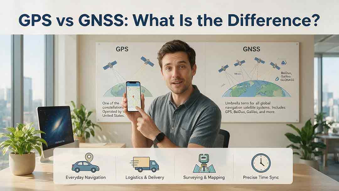
GPS vs GNSS: What Is the Difference?
GPS and GNSS are often used as if they mean the same thing, but they describe different levels of satellite navigation technology. GPS is the United States’ satellite navigation system, while GNSS is the broader category that includes GPS, Galileo, GLONASS, BeiDou, and compatible regional systems such as QZSS and NavIC. This guide explains how GPS-only and multi-GNSS receivers differ, why access to more constellations may improve signal availability, and why a larger satellite count does not automatically guarantee greater accuracy. It also examines dual-frequency reception, satellite geometry, antenna quality, correction services, sensor integration, and common positioning errors. Readers can use the Receiver Capability Stack, buying checklist, real-world examples, and troubleshooting steps to evaluate phones, watches, vehicle navigators, outdoor devices, survey receivers, and timing systems. The article is based on official technical documentation and clearly distinguishes educational examples from recognized GNSS performance standards.

Why Does GPS Need Atomic Clocks?
GPS depends on atomic clocks because every satellite range begins as a timing measurement. Since radio signals travel at nearly the speed of light, even a nanosecond-level clock error can represent centimeters or meters of apparent distance. This article explains how GPS satellites use atomic frequency standards, ground monitoring, clock corrections, and navigation messages to maintain reliable timing. It also shows why ordinary smartphones do not need atomic clocks, why a basic three-dimensional GPS solution normally requires four suitable satellite measurements, and how relativity affects clocks in orbit. A worked timing-to-distance example, an original five-step evaluation framework, and a GPS error table help distinguish satellite clock error from atmospheric delay, multipath, receiver bias, poor geometry, and other limitations. Based on official GPS.gov, NIST, NAVCEN, and NOAA documentation, the guide provides a practical and carefully qualified explanation of why precise time is fundamental to modern satellite navigation.
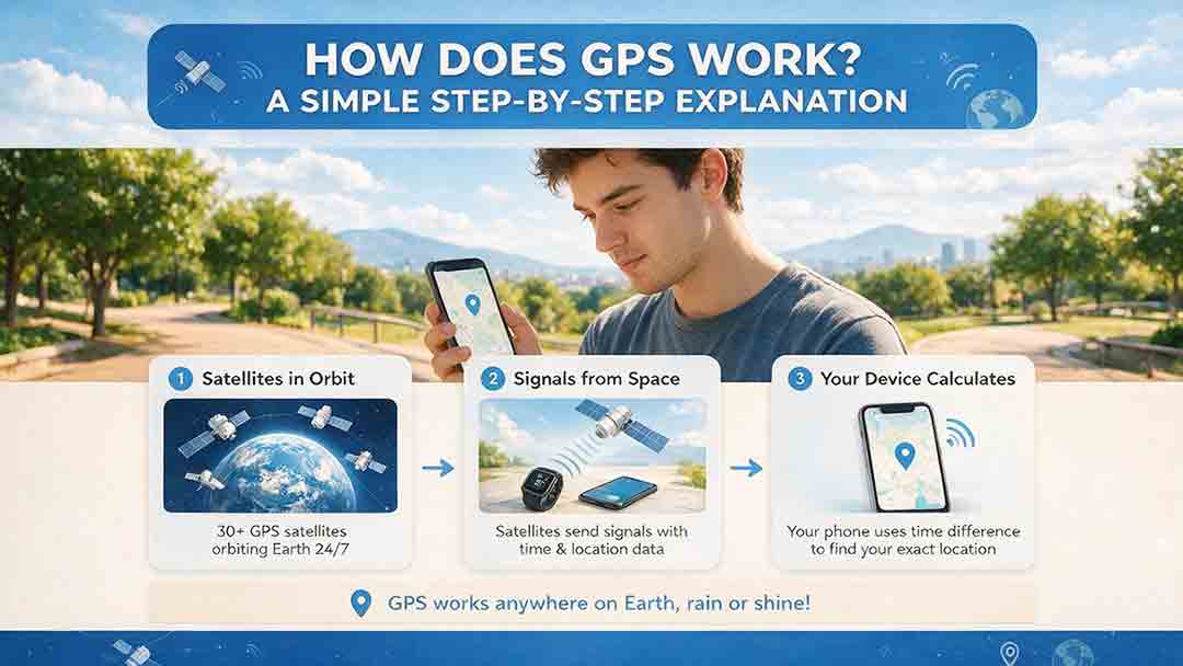
How Does GPS Work? A Simple Step-by-Step Explanation
GPS determines location by measuring how long precisely timed radio signals take to travel from multiple satellites to a receiver. This guide follows that process step by step, from satellite transmission and pseudorange calculation to the four-satellite solution used to determine three-dimensional position and receiver-clock error. It explains why GPS satellites need atomic clocks, how relativity affects orbital timing, and why a one-microsecond timing difference represents roughly 300 meters of signal travel. The article also distinguishes GPS coordinates from digital maps, addresses, and route-planning data. Practical frameworks help readers understand how signal quality, timing, satellite geometry, and error corrections affect positioning performance. A 10-minute diagnostic test offers a structured way to separate reception problems from map, routing, permission, or connectivity issues. The guide also covers GPS accuracy, multipath near tall buildings, ionospheric delay, GPS versus GNSS, offline use, and appropriate precautions for remote, professional, and safety-critical applications.