How Accurate Is Consumer GPS?

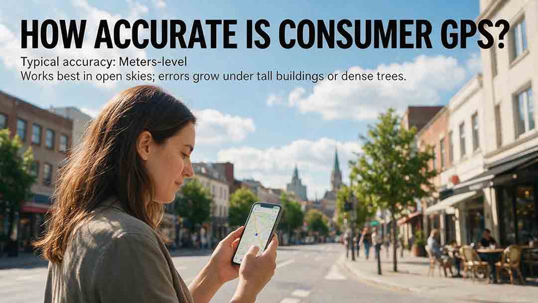
Under open sky, a modern consumer GPS or multi-constellation GNSS device can often estimate horizontal position within roughly 5 meters, or 16 feet.[1] That is a practical reference, not a guaranteed limit. Buildings, trees, terrain, reflected signals, antenna placement, and software can make the error much larger. Consumer GPS is excellent for navigation, but it is not a substitute for survey-grade or certified positioning.
Key Takeaways
- GPS.gov cites approximately 4.9 meters under open sky as a typical smartphone accuracy reference, not a promise for every reading.[1]
- An app’s accuracy circle is an estimate of uncertainty. It is not a direct measurement of the device’s actual error.
- The usefulness of GPS depends on the task: a five-meter uncertainty may be acceptable on a hiking trail but inadequate for identifying a property corner.
- Horizontal position is usually more dependable than consumer GPS altitude.
- A phone, watch, and handheld receiver cannot be ranked by product category alone; antenna design, supported signals, placement, software, and surroundings all matter.
- Consumer GPS should not be the sole positioning method when a small error could create legal, engineering, aviation, excavation, or serious safety consequences.
This guide will help you interpret GPS accuracy claims, diagnose common location errors, test a device responsibly, and decide whether ordinary consumer positioning is precise enough for the task in front of you.
Method note: This article is based on government specifications, official platform documentation, geodetic references, and practical decision criteria. It does not present original product testing. Numerical claims and source links were checked on August 2, 2026.
How Accurate Is Consumer GPS in Real-World Conditions?
The familiar five-meter figure applies most closely to horizontal positioning with a reasonably clear view of the sky. It should not be generalized to every outdoor location.
A phone in an open field may receive direct signals from satellites spread across the sky. The same phone beside a glass tower, under dense tree cover, or inside a vehicle may receive fewer direct signals and more reflected ones.
The table below offers editorial planning guidance, not controlled test results or guaranteed performance ranges.
| Environment | Illustrative consumer expectation | Why performance changes |
|---|---|---|
| Open field, beach, or large parking area | Often the best chance of approaching the open-sky reference | Broad sky visibility and fewer reflective surfaces |
| Open residential street | Usually usable for navigation, but less consistent than an open field | Houses, trees, vehicles, and partial obstruction |
| Dense city center | Position may drift, jump, or attach to the wrong road | Tall buildings block and reflect signals |
| Light forest | Often usable for general trail navigation | Leaves, branches, terrain, and changing sky visibility |
| Dense forest or steep valley | Accuracy may become unstable or substantially worse | Restricted satellite geometry and signal blockage |
| Inside a building | Satellite positioning may be weak, delayed, or unavailable | Roofs and walls attenuate satellite signals |
| Underground or inside a tunnel | Direct satellite positioning is normally unavailable | No practical line of sight to navigation satellites |
| Inside a vehicle | Usually usable, but placement matters | Roofs, coated glass, dashboards, and the vehicle body can obstruct signals |
| Beside a window | A location may be available but biased toward the visible side of the sky | Satellites are visible in only a limited set of directions |
Actual performance can change with:
- Device and antenna design
- Device orientation
- Supported GNSS constellations
- Supported signal frequencies
- Satellite geometry at that time
- Nearby glass, concrete, metal, vehicles, and cliffs
- Software filtering and map matching
- Whether the app has precise-location permission
- Whether the displayed result is current or cached
A useful accuracy discussion therefore needs more than a single number.
What Does “Accurate Within 5 Meters” Actually Mean?
It does not mean every reported position will be less than five meters from the true location.
GPS.gov states that GPS-enabled smartphones are typically accurate within a 4.9-meter radius under open sky, while noting that accuracy worsens near buildings, bridges, and trees.[1]
That statement is best treated as a favorable-condition reference. It is not:
- A warranty from a phone manufacturer
- A maximum error that cannot be exceeded
- A legal measurement standard
- A promise that every app will use the same confidence level
- Evidence that altitude is accurate to the same distance
A location display contains three separate ideas.
Reported Position
This is the latitude and longitude calculated by the device or location service.
It is usually shown as the center of a blue dot, marker, or cursor.
Estimated Uncertainty
This is the device or app’s estimate of how uncertain the reported location is.
It may appear as:
- An accuracy radius
- A light-blue circle
- A number in meters or feet
- A quality label such as high, medium, or low accuracy
Actual Error
Actual error is the real distance between the reported position and the true position.
It cannot be known from the phone alone. It must be measured against a sufficiently reliable independent reference.
A device can report a small accuracy radius and still be wrong. It can also report a large radius while the actual location happens to be close to the center.
Why Do GPS Accuracy Numbers Not Always Mean the Same Thing?
GPS accuracy figures may describe different confidence levels, environments, devices, and layers of the positioning system.
A smartphone reference, an Android accuracy radius, and a government GPS service-performance commitment cannot be substituted for one another.
| Accuracy metric | What it represents | What it does not mean |
|---|---|---|
| Approximately 4.9 meters | A commonly cited smartphone reference under open sky | A guaranteed maximum error for every phone |
| Android horizontal accuracy radius | An estimated radius at a stated confidence level | A definition automatically used by every app or platform |
| GPS SPS performance figure | A government commitment concerning GPS service or signal performance | Guaranteed final accuracy for a particular consumer device |
| App accuracy circle | A visual representation of estimated uncertainty | The measured distance from the true position |
| Observed error | A comparison with a reliable reference point | A universal result for other devices, places, or times |
| Repeatability | How closely repeated readings agree | Proof that those readings are close to the true coordinates |
| Manufacturer specification | Performance claimed under specified assumptions | A promise that the same result will occur in every environment |
What Does Android’s 68% Accuracy Radius Mean?
The Android Location API defines horizontal accuracy as an estimated radius at the 68th-percentile confidence level.[6]
In that specific Android definition, a circle drawn around the reported location using the stated radius is estimated to contain the true horizontal location about 68% of the time.
That definition does not automatically apply to:
- Apple location displays
- Every Android app interface
- Fitness-platform summaries
- Dedicated handheld receivers
- Manufacturer marketing claims
- GPS service-performance standards
- Legal or survey measurements
The operating system may supply an accuracy value, while an individual app may filter, reinterpret, hide, or combine it with other information.
What Do GPS Service Standards Measure?
The U.S. GPS Standard Positioning Service Performance Standard describes performance commitments for the GPS service and its signals.[2]
GPS.gov makes an important distinction: government commitments concern the signals transmitted in space, not the final accuracy of a particular phone.[1]
The device result also depends on:
- Satellite geometry
- Signal blockage
- Atmospheric effects
- Receiver quality
- Antenna placement
- Reflected signals
- Radio interference
- Software processing
A precise signal in space cannot guarantee a precise result beside a reflective building or beneath a solid roof.
The CosmoBasics Target Separation Test
The most useful consumer question is not:
“Is this GPS accurate?”
It is:
“Is the uncertainty small enough to distinguish the choices that matter?”
The CosmoBasics Target Separation Test compares the device’s uncertainty with the physical distance between possible targets.
Important: This is an editorial screening tool, not a surveying, statistical, legal, engineering, aviation, maritime, emergency-response, or safety standard.
Step 1: Identify the Decision
Define the smallest choice the GPS needs to resolve.
Examples include:
- Which of two roads you are on
- Which trail junction to take
- Which building entrance is correct
- Whether a recorded point is inside a small site
- Whether a fence marks a legal boundary
Step 2: Estimate Target Separation
Estimate the distance between the possible choices.
A road intersection and the next road may be 100 meters apart. Two neighboring entrances may be only 3 meters apart.
Step 3: Read the Reported Accuracy Radius
Use the current horizontal accuracy value when the app provides one.
Do not assume that a value from several minutes ago still describes the current conditions.
Step 4: Convert Radius to Uncertainty Diameter
For a simple screening comparison:
Uncertainty diameter = 2 × reported accuracy radius
A 5-meter radius creates an uncertainty area approximately 10 meters across.
This calculation does not convert the radius into a new confidence guarantee. It simply makes the scale easier to compare with the distance between targets.
Step 5: Calculate the Planning Margin
A second editorial tool is the planning margin:
Planning margin = target separation − uncertainty diameter
This is not a probability calculation. It is a practical comparison.
| Planning result | General interpretation |
|---|---|
| Large positive margin | GPS may be suitable when combined with normal visual confirmation |
| Small positive margin | The decision is close; use signs, landmarks, maps, or another method |
| Near zero | GPS uncertainty is roughly as large as the separation between choices |
| Negative margin | The reported uncertainty is too large to distinguish the targets reliably |
| Any high-consequence decision | Use professional, certified, or regulated procedures regardless of the simple margin |
Example A: A Trail Junction
A hiker is approaching two trail junctions approximately 50 meters apart.
- Reported accuracy radius: 5 meters
- Uncertainty diameter: 10 meters
- Target separation: 50 meters
- Planning margin: 40 meters
General judgment: GPS is likely useful for distinguishing the junctions when combined with the trail map, signs, terrain, and normal outdoor-navigation precautions.
Example B: Two Entrances
A visitor is choosing between two entrances 3 meters apart.
- Reported accuracy radius: 5 meters
- Uncertainty diameter: 10 meters
- Target separation: 3 meters
- Planning margin: −7 meters
General judgment: The location estimate is not precise enough to distinguish the entrances reliably. A street number, entrance description, sign, or visual landmark is more useful.
Example C: A Property Boundary
A homeowner wants to determine whether a fence is on the legal boundary.
- Reported accuracy radius: 3 meters
- Uncertainty diameter: 6 meters
- Relevant separation: potentially centimeters
- Consequences of error: legal and financial
General judgment: Consumer GPS is not appropriate. Official records and a licensed land surveyor should be used when the exact boundary matters.
The Overlooked Lesson
Most consumer GPS failures are not complete failures to produce coordinates.
They are decision-margin failures.
A location can be technically reasonable but still be operationally useless because the competing targets are too close together. Conversely, a position with several meters of uncertainty can be entirely adequate when the relevant roads, trails, or landmarks are widely separated.
Which Tasks Are Suitable for Consumer GPS?
| Task | General suitability | Recommended confirmation |
|---|---|---|
| Following a road route | Usually suitable | Road signs and visible surroundings |
| Finding a parked vehicle | Usually suitable | Vehicle description and parking landmarks |
| Recording a general photo location | Usually suitable | Review the map pin before saving |
| Following a marked hiking trail | Usually suitable with preparation | Offline map, trail signs, terrain, and backup navigation |
| Finding a campsite or meeting area | Often suitable | Visible landmarks and shared directions |
| Identifying a specific doorway | Sometimes insufficient | Address, unit number, signs, or visual instructions |
| Measuring a small yard feature | Often insufficient for precise work | Tape, site plan, or appropriate measuring equipment |
| Establishing a legal boundary | Not suitable | Licensed surveyor and official records |
| Locating buried utilities | Not suitable | Authorized utility-location procedures |
| Construction staking | Not suitable | Professional survey control and equipment |
| Certified aircraft navigation | Not with ordinary consumer equipment | Approved avionics and regulated procedures |
| High-accuracy scientific monitoring | Usually not without a designed methodology | Appropriate equipment, reference system, and uncertainty analysis |
Why Does Consumer GPS Accuracy Change?
A receiver estimates its position from radio signals that have traveled from navigation satellites to Earth.
The final position changes when the signal path, visible satellites, antenna reception, or software interpretation changes.
Satellite Geometry
A receiver generally performs better when usable satellites are spread across different parts of the sky.
If the visible satellites appear clustered in similar directions, a small ranging error can produce a larger position error. This geometric effect is often described using dilution of precision, or DOP.
A broad open sky usually provides more useful geometry than:
- A narrow street between towers
- A steep mountain valley
- A location beside a cliff
- An indoor position near one window
- A vehicle with most of the sky blocked by its roof
Seeing more satellites can help, but the number alone is not enough. Their distribution across the sky also matters.
Signal Blockage
Navigation signals are weak when they reach Earth.
Walls, roofs, bridges, mountains, vehicles, dense vegetation, and the user’s body can block part of the sky. Apple advises users to maintain a clear view in several directions and notes that walls, vehicle roofs, tall buildings, and mountains can obstruct GPS signals.[9]
When too few direct signals are available, the device may:
- Take longer to calculate a position
- Display a larger accuracy circle
- Fall back to Wi-Fi or cellular location
- Continue showing a cached location
- Lose satellite positioning temporarily
Multipath Reflections
Multipath occurs when a signal reflects from a building, window, vehicle, cliff, or other surface before reaching the antenna.
The reflected path is longer than the direct path. If the receiver cannot identify and reject that reflection, it may calculate an incorrect distance to the satellite.
Multipath can make a position:
- Drift along the wrong side of a street
- Jump between parallel roads
- Appear inside a nearby building
- Move while the device is stationary
- Trace an unrealistic path around tall structures
GPS.gov identifies reflected signals from buildings and walls as a common cause of degraded positioning.[1]
Atmospheric Effects
Signals pass through the ionosphere and troposphere before reaching a receiver.
Changes in electron content, temperature, pressure, and humidity alter signal travel time. Satellites and receivers apply models and corrections, but some residual error remains.
Atmospheric effects help explain why measurements taken at different times can vary. For ordinary city or indoor problems, however, nearby blockage and reflections are often more obvious causes.
Receiver and Antenna Design
Two devices placed side by side may not report identical positions.
Performance can depend on:
- Antenna size and placement
- Supported satellite constellations
- Supported frequencies
- Receiver sensitivity
- Interference rejection
- Device orientation
- Case and body materials
- Power-management settings
- Software filtering
- Whether a hand, dashboard, roof, or metal object blocks the antenna
The product label alone—phone, watch, handheld, or external receiver—does not determine accuracy.
Software and Sensor Fusion
The blue dot on a phone may not come from satellite signals alone.
A modern location service can combine:
- GPS and other GNSS constellations
- Wi-Fi access-point locations
- Cellular-network information
- Accelerometers
- Gyroscopes
- Magnetometers
- Barometers
- Camera-based positioning
- Previously calculated locations
- Road and path matching
Google’s Fused Location Provider combines underlying technologies such as GPS and Wi-Fi to provide location information requested by an app.[8]
This can improve speed and stability, particularly when satellite reception is weak. It can also make errors harder to diagnose because the visible result may come from several sources.
Is Smartphone GPS Really Only GPS?
Usually not.
Most modern smartphones use GNSS, or Global Navigation Satellite System, rather than relying solely on the United States’ GPS constellation.
NOAA’s National Geodetic Survey identifies four fully operational global systems:[3]
- GPS, operated by the United States
- Galileo, operated by the European Union
- GLONASS, operated by Russia
- BeiDou, operated by China
A receiver that supports multiple constellations may have access to more satellites. This can improve availability and may improve reliability when part of the sky is blocked.
A phone’s displayed location may therefore combine:
- Several GNSS constellations
- One or more signal frequencies
- Wi-Fi positioning
- Cellular positioning
- Motion and orientation sensors
- Software filtering
- Map matching
Calling the result “GPS” is convenient, but technically incomplete.
Which Consumer Device Is Most Accurate?
No device category always wins.
A smartphone may outperform a basic outdoor handheld in one setting. A well-positioned external receiver may outperform both. A watch may record a useful route in open terrain but struggle near tall buildings because of its small antenna and moving wrist position.
| Device type | Main strength | Main limitation | Best suited to |
|---|---|---|---|
| Smartphone | Multi-GNSS support, sensor fusion, strong mapping software | Small antenna and variable power management | Everyday navigation and location sharing |
| Outdoor handheld GNSS | Rugged design, physical controls, long battery life | Not automatically more accurate than a phone | Hiking, boating, and backcountry navigation |
| GPS or GNSS watch | Convenient continuous tracking | Small antenna and changing wrist orientation | Fitness routes and approximate distance |
| Vehicle navigation unit | Stable power and road-focused interface | Vehicle structure can obstruct signals | Road navigation |
| Bluetooth GNSS receiver | Can be positioned for a clearer sky view | Requires compatible software and another device | Specialist mobile, marine, or field use |
| Survey-grade GNSS equipment | Supports corrections, calibrated antennas, and professional workflows | Expensive and dependent on correct setup and procedures | Surveying, engineering, and geodetic work |
What Matters More Than the Product Label?
Before choosing equipment for an accuracy-sensitive task, check:
- Supported GNSS constellations
- Supported civilian frequencies
- Antenna design and placement
- External-antenna support
- Whether specifications describe horizontal or vertical accuracy
- The confidence level attached to an accuracy claim
- Whether correction services are required
- Whether the claim assumes open sky
- Whether the result is instantaneous or averaged
- Whether the device is designed for navigation or measurement
The U.S. Geological Survey describes ordinary commercial handheld equipment as suitable for general location, navigation, and simple waypoint marking—not precise or extensive mapping.[4]
A more expensive device may offer better durability, battery life, maps, communication tools, or weather resistance without delivering a proportionally smaller position error.
Does Dual-Frequency GNSS Improve Accuracy?
Some modern smartphones and consumer GNSS devices support more than one civilian signal frequency, commonly including signals in the L1/E1 and L5/E5 families.[7]
Multiple frequencies can help a receiver:
- Reduce part of the ionospheric delay
- Identify some reflected signals
- Improve stability in certain urban environments
- Produce cleaner tracks
- Recover more effectively after partial blockage
Dual-frequency support is valuable, but it cannot:
- Create satellite reception underground
- Make signals pass through solid roofs
- Repair incorrect map data
- Guarantee one-meter accuracy
- Produce centimeter accuracy without suitable corrections
- Overcome every antenna or software limitation
- Eliminate all multipath error
Actual performance still depends on the complete device design, not merely the frequencies listed in a specification.
Is GPS Altitude as Accurate as Horizontal Position?
Usually not.
Satellite geometry is generally less favorable for estimating height than horizontal position. The GPS Standard Positioning Service also treats horizontal and vertical performance separately.[2]
A second complication is that “altitude” can refer to different reference surfaces.
| Height type | Meaning |
|---|---|
| Ellipsoidal height | Height relative to a mathematical Earth ellipsoid |
| Orthometric height | Height relative to a gravity-based vertical reference commonly associated with elevation above mean sea level |
| Displayed device altitude | A value that may combine GNSS, a barometer, terrain data, a geoid model, and software corrections |
Android documents basic altitude as height above the WGS 84 reference ellipsoid, while supported newer APIs can also provide estimated mean-sea-level altitude.[6]
NOAA geoid models are used to convert GNSS ellipsoidal heights into orthometric heights tied to specific vertical datums.[5]
A difference between a phone and a topographic map can therefore result from:
- Vertical positioning error
- Different vertical reference surfaces
- Barometer calibration
- Terrain-model resolution
- Software smoothing
- An outdated altitude estimate
A consumer altitude display should not be treated as a precise elevation survey.
How Accurate Are GPS Distance and Speed Measurements?
GPS can estimate distance and speed well during steady outdoor movement, but short tracks, low speeds, sharp turns, poor signal environments, and app filtering can change the result.
A fitness app normally calculates distance by connecting a sequence of recorded positions. Each point contains some uncertainty.
Why Can a Stationary Device Record Movement?
Imagine a phone resting on a bench while its calculated positions drift within a small area.
If an app connects every point, the track may zigzag. The total distance can increase even though the phone never moved.
Apps reduce this effect using:
- Speed thresholds
- Position filtering
- Smoothing
- Motion-sensor data
- Rejection of poor-quality fixes
- Road or trail matching
- Different sampling intervals
Two apps on the same phone can therefore produce different distances without either app necessarily receiving different satellite signals.
For exercise tracking, consistency across several similar activities is generally more informative than a small difference in one session.
How Can You Test Your GPS Accuracy?
A useful consumer test compares repeated readings with a reliable reference point while documenting the device, environment, and reported uncertainty.
The test can reveal repeatability and sensitivity to obstruction. It cannot certify survey-grade performance.
Step-by-Step GPS Accuracy Test
Choose an open location.
Avoid tall buildings, reflective walls, dense trees, bridges, and vehicle roofs.Find a reliable reference point.
A documented geodetic mark may be useful if its coordinates, datum, condition, and physical location are understood. A random map pin is not an authoritative reference.Record the coordinate system.
Note the datum, coordinate format, and the exact physical point represented by the published coordinates.Enable precise location.
Confirm that the application is permitted to use precise rather than approximate location.Keep the device stationary.
Use a stable position and consistent orientation.Allow the location to stabilize.
Do not assume the first reading is the best one. Watch whether the position and accuracy radius continue changing.Record multiple readings.
Note the coordinates, reported accuracy, time, and environmental conditions.Repeat at another time.
Satellite geometry and atmospheric conditions change.Test difficult environments separately.
Do not combine open-field and urban-wall results into one average.Evaluate the distribution.
A single close reading does not prove consistent accuracy.
GPS Test Record Template
| Test field | Record |
|---|---|
| Device manufacturer and model | |
| Operating system version | |
| Application and version | |
| Precise or approximate permission | |
| Date and local time | |
| Coordinate format and datum | |
| Test environment | |
| Sky visibility | |
| Nearby buildings or vegetation | |
| Device position and orientation | |
| Reported accuracy radius | |
| Reference point source | |
| Reference coordinates | |
| Device-reported coordinates | |
| Observed difference | |
| Time required to stabilize | |
| Number of readings | |
| Additional notes |
How Should You Interpret the Results?
Keep five distinctions in mind:
Repeatability is not accuracy.
Several readings can agree closely while sharing the same offset.Reported accuracy is not observed error.
It is the system’s estimate of uncertainty.The reference point can be wrong.
An inaccurate map pin cannot validate a receiver.One test does not represent every condition.
Satellite geometry and surroundings change.A consumer test is not a professional survey.
Do not use it to establish property boundaries, buried utilities, construction control, or regulated navigation performance.
How Can You Improve Consumer GPS Accuracy?
Start with the signal environment. Restarting the device or calibrating the compass is secondary when most of the sky is blocked.
First Priority: Improve the Sky View
- Move into a more open area.
- Move away from tall or reflective buildings.
- Avoid standing directly beside glass, concrete, or metal surfaces.
- Step away from cliffs, overhangs, and bridges.
- Reposition the device inside a vehicle.
- Keep the receiver uncovered.
- Hold or place the device consistently.
- Allow time for the estimate to stabilize.
Apple notes that walls, vehicle roofs, tall buildings, mountains, and other obstructions can block the line of sight to satellites.[9]
Second Priority: Check Permissions and Settings
- Enable precise location for the app.
- Confirm that location services are enabled.
- Enable assisted location when appropriate.
- Turn off restrictive battery-saving modes.
- Confirm the correct date, time, and time zone.
- Check whether airplane mode is limiting location sources.
- Make sure the app is requesting a current rather than cached position.
Google Maps recommends checking location services, Wi-Fi or mobile data, battery-saving settings, compass calibration, and signal conditions when the blue dot is inaccurate.[10]
Third Priority: Resolve Software or Cached-Location Problems
- Request a fresh location.
- Close and reopen the app.
- Update the app.
- Update the operating system.
- Refresh offline maps.
- Restart the device.
- Compare the result with another reputable app.
- Report incorrect roads, addresses, or map features to the map provider.
Does Compass Calibration Improve GPS Accuracy?
Compass calibration primarily improves heading, not the satellite-calculated position.
A device can show:
- A roughly correct position with an incorrect heading
- An incorrect position with a correct heading
- Errors in both position and heading
The blue dot’s location mainly depends on GNSS and other location sources. The direction beam depends more heavily on the magnetometer, motion sensors, and software.
Compass calibration may help when:
- The map points in the wrong direction
- The direction beam is unusually wide
- Walking instructions initially point backward
- The map rotates unexpectedly
It normally cannot correct a large coordinate error caused by blocked or reflected satellite signals.
Why Does GPS Put You on the Wrong Road?
A wrong-road display can result from positioning error, map matching, stale data, or an inaccurate map.
Map matching is the process of assigning an estimated position to a likely road, railway, or path. It makes navigation displays smoother because raw positions naturally contain uncertainty.
It can choose the wrong road when:
- Two roads run close together
- A frontage road parallels a highway
- One road passes above another
- A vehicle is inside a complex interchange
- Position accuracy temporarily degrades
- A new road is missing from the map
- The vehicle changes direction unexpectedly
Quick Diagnostic
| What you see | Most likely explanation |
|---|---|
| The blue dot is misplaced, but roads and buildings look correct | Positioning or network-location error |
| Your movement is tracked, but the road itself is misplaced | Map-data error |
| The dot is close, but the arrow points the wrong way | Compass or heading error |
| The location remains where you were several minutes ago | Cached or stale position |
| The dot jumps between parallel roads | Multipath or map-matching uncertainty |
| The dot appears inside a nearby building | Blockage and reflected signals |
| The app shows only a broad area | Approximate permission or weak location data |
| One app is wrong while another is reasonable | Different filters, permissions, or cached data |
GPS.gov notes that users may be misled by missing roads, incorrectly drawn maps, mislabeled places, and estimated street addresses even when the receiver itself is operating normally.[1]
Troubleshooting Common GPS Problems
| Symptom | Likely cause | Practical response |
|---|---|---|
| Wide accuracy circle | Weak or obstructed signals | Move into open sky and wait for a fresh fix |
| Position jumps between streets | Multipath and map matching | Move away from tall buildings where practical |
| Location is stuck at an old place | Cached position | Request a current location or reopen the app |
| Arrow points backward | Compass or orientation problem | Calibrate heading and walk several steps |
| GPS works outdoors but not indoors | Roof and wall blockage | Use assisted location or move outside |
| Track moves while stationary | Position noise or weak filtering | Ignore short stationary tracks or use a better-filtered app |
| Altitude differs from a map | Vertical error or different reference surface | Check the source and vertical datum |
| Device follows the wrong road | Map matching or map-data error | Verify with signs and report the map problem |
| Accuracy worsens in a vehicle | Roof, dashboard, or coated-glass obstruction | Reposition the device |
| Two apps disagree | Different permissions, filters, or timestamps | Compare settings and the age of each reading |
| Location is only approximate | App permission | Enable precise location when appropriate |
| Small accuracy circle but wrong position | Misestimated uncertainty or faulty reference/map data | Compare with reliable landmarks and another source |
Which GPS Accuracy Mistakes Cause the Most Confusion?
Treating the Blue Dot as an Exact Point
The center is the device’s best estimate, not a surveyed coordinate.
Treating the Accuracy Circle as Measured Error
The circle represents modeled uncertainty. Actual error requires comparison with a reliable reference.
Confusing Heading with Position
A wrong-facing arrow may indicate a compass issue even when the location is approximately correct.
Assuming Offline Maps Improve Satellite Reception
Offline maps store map data. They do not strengthen satellite signals.
GPS can calculate coordinates without internet access, although network assistance may improve acquisition speed and the overall location experience.
Using One Reading as Proof
One excellent point may be luck. One poor point may result from temporary obstruction. A documented series is more informative.
Assuming Price Determines Accuracy
A higher price may pay for durability, maps, battery life, communication features, or weather resistance rather than a smaller horizontal error.
Treating a Parcel Overlay as a Legal Boundary
Online parcel layers may be generalized, shifted, or intended only for reference. They do not replace legal records or a licensed survey.
Relying on Consumer GPS for a High-Consequence Decision
A precise-looking coordinate can still carry several meters of uncertainty. The appearance of precision is not proof of accuracy, integrity, or legal authority.
When Is Consumer GPS Not Accurate Enough?
Consumer GPS should not be the sole positioning method when an error of a few meters could create legal, financial, engineering, operational, or serious safety consequences.
Examples include:
- Legal property-boundary determination
- Construction staking
- Utility excavation
- Structural measurement
- Survey control
- Precision agricultural control
- High-accuracy scientific monitoring
- Certified aviation navigation
- Regulated marine navigation
- Emergency decisions that depend on an exact point
Professional GNSS work may use:
- Differential corrections
- Real-time kinematic positioning
- Precise point positioning
- Calibrated antennas
- Continuously operating reference stations
- Satellite-based augmentation
- Static observations
- Post-processing
- Documented quality-control procedures
Professional equipment does not guarantee professional results by itself. Accuracy also depends on correct configuration, antenna setup, correction quality, reference systems, field procedures, and operator competence.
NOAA’s National Geodetic Survey maintains reference infrastructure, calibration services, processing tools, and geodetic models for high-accuracy positioning.[3]
The FAA separately monitors GPS and Wide Area Augmentation System performance for aviation applications, where accuracy, availability, and integrity must be evaluated within approved systems and procedures.[11]
Is Consumer GPS Accurate Enough for You?
| User or situation | Recommended approach |
|---|---|
| Driver | Use a phone or vehicle navigator and verify unusual instructions with road signs |
| Urban pedestrian | Combine the map with addresses, building names, and landmarks |
| Hiker | Carry offline maps, sufficient power, a planned route, and backup navigation |
| Runner or cyclist | Compare consistency across several activities rather than one reading |
| Photographer | Smartphone geotagging is generally adequate for approximate locations |
| Property owner | Use GPS only for orientation and consult a licensed surveyor when the boundary matters |
| GIS field worker | Match the receiver and collection method to a documented accuracy requirement |
| Engineer or surveyor | Use suitable professional equipment, corrections, control, and verification |
| Researcher | Record device details, uncertainty, environment, sampling method, and reference system |
| Emergency traveler | Share all available context and follow local emergency procedures; do not assume a consumer coordinate is exact |
The Practical Answer
Consumer GPS is highly useful because most everyday navigation decisions do not require an exact coordinate.
Under open sky, a modern phone may often estimate horizontal position within roughly five meters. That may be enough to identify a road, trail junction, parking area, campsite, or general meeting point. It may not be enough to identify a doorway, fence line, buried utility, or survey monument.
Use the Target Separation Test:
When the uncertainty is comfortably smaller than the distance between the choices that matter, consumer GPS may be suitable with visual confirmation.
For everyday travel, check the accuracy indicator and compare the result with signs, landmarks, roads, and terrain. For outdoor use, prepare offline maps, sufficient power, and an appropriate backup method.
When a location error could create legal, engineering, aviation, excavation, or serious safety consequences, use the relevant professional, certified, or regulated process instead of relying solely on a consumer device.
Frequently Asked Questions
Can Consumer GPS Be Accurate to One Meter?
A consumer device may occasionally report a position within one meter of the true location under favorable conditions.
That does not mean it can maintain one-meter accuracy reliably. Consistent sub-meter performance normally requires suitable hardware, a good signal environment, correction data, and a method for verifying the result.
Is the Accuracy Circle the Same as the Actual GPS Error?
No.
The circle is the system’s estimate of uncertainty. Actual error is the measured distance between the reported position and a reliable reference point.
Different platforms can use different confidence definitions. A small circle does not prove the location is correct, and a large circle does not prove the device is far from the center.
Is a Phone More Accurate Than a GPS Watch?
Not always.
A phone may benefit from a larger antenna area, more location sources, multiple frequencies, and extensive software processing. A watch can still record useful routes in open terrain.
Performance should be compared under similar conditions rather than inferred from the product category.
Does Mobile Data Make GPS More Accurate?
Satellite positioning does not require mobile data.
Internet connectivity can still provide assistance data, Wi-Fi positioning, maps, corrections, and other services that help the device obtain or interpret a location more quickly.
Does Weather Affect Consumer GPS Accuracy?
Ordinary clouds and rain are usually less important than buildings, trees, terrain, antenna blockage, and reflected signals.
Atmospheric changes and major space-weather disturbances can affect satellite navigation, but they are not the usual explanation for everyday blue-dot errors.
Can GPS Identify a Property Line?
Consumer GPS should not be used to establish or confirm a legal property boundary.
Its error may be larger than the distance between the true boundary and a fence, driveway, wall, or digital parcel overlay. Use official records and a licensed land surveyor when the exact boundary matters.
Sources
GPS Service and Performance
GPS.gov — GPS Accuracy
Supports the approximately 4.9-meter smartphone reference under open sky and explains satellite geometry, blockage, atmospheric effects, multipath, receiver design, and map errors.U.S. Department of Defense — Global Positioning System Standard Positioning Service Performance Standard, 5th Edition
Defines GPS Standard Positioning Service performance commitments and distinguishes service-level performance from the final result produced by a particular consumer device.
GNSS and Geodetic Accuracy
NOAA National Geodetic Survey — GNSS Technology Research
Identifies the fully operational global GNSS constellations and describes multi-GNSS processing, reference systems, antenna calibration, and high-accuracy positioning infrastructure.U.S. Geological Survey — Global Positioning Application and Practice
Distinguishes ordinary commercial handheld navigation equipment from mapping-grade and survey-grade GNSS workflows.NOAA National Geodetic Survey — GEOID18
Explains how geoid models convert GNSS ellipsoidal heights into orthometric heights associated with official vertical datums.
Smartphone Location Systems
Android Developers — Location API Reference
Defines Android’s horizontal accuracy radius at the 68th-percentile confidence level and documents altitude relative to the WGS 84 reference ellipsoid.Android Developers — Raw GNSS Measurements
Documents raw GNSS measurements, multi-frequency support, and antenna-information capabilities on supported Android devices.Google for Developers — Fused Location Provider API
Explains how Android applications can combine underlying location technologies such as GPS and Wi-Fi.Apple Support — About Privacy and Location Services
Provides official guidance on satellite visibility, obstructions, device time settings, and network-assisted location.Google Maps Help — Find and Improve Your Location’s Accuracy
Explains the Google Maps blue dot, uncertainty circle, precise-location settings, battery restrictions, compass calibration, and common troubleshooting steps.
Augmentation and Regulated Navigation
- Federal Aviation Administration — WAAS Test Team Performance and Monitoring
Provides official monitoring, reports, and technical information concerning GPS and Wide Area Augmentation System performance for aviation applications.
Editorial Method
Editorial method: Numerical claims, statistical definitions, source links, technical explanations, and high-consequence-use limitations were checked against official GPS.gov, U.S. Department of Defense, NOAA, USGS, Android, Google, Apple, and FAA documentation.
Testing disclosure: No original hands-on comparison of individual phone, watch, handheld, vehicle, or survey receiver models is presented. The article’s original contribution is its task-based interpretation framework, Target Separation Test, planning-margin calculation, diagnostic tables, and reusable GPS test record.
More from GPS, Timing & Navigation
Why Does Your Phone Sometimes Show the Wrong Location?
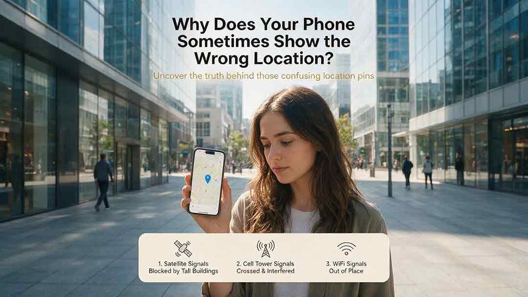
A phone’s location can appear incorrect even when its GPS hardware is functioning normally. Modern smartphones estimate position by combining satellite signals with Wi-Fi, cellular networks, Bluetooth, motion sensors, app permissions, and map data. This guide explains how blocked or reflected signals, cached locations, approximate permissions, battery restrictions, compass errors, and inaccurate map pins can affect the blue dot. It introduces two practical CosmoBasics troubleshooting tools—the Two Apps, Two Places Rule and the PLACE Test—to help readers distinguish app problems, environmental interference, stale data, mapping errors, and possible device-level issues. The article also provides step-by-step fixes for iPhone and Android, explains realistic smartphone accuracy under open-sky and indoor conditions, and identifies when contacting the manufacturer may be appropriate. All major technical claims are supported by first-party documentation from GPS.gov, Apple, Android, Google Maps, and Google for Developers.
GPS vs GNSS: What Is the Difference?
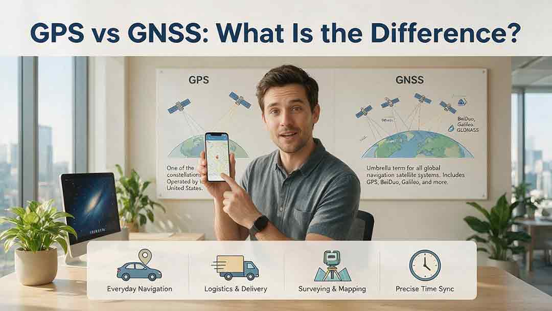
GPS and GNSS are often used as if they mean the same thing, but they describe different levels of satellite navigation technology. GPS is the United States’ satellite navigation system, while GNSS is the broader category that includes GPS, Galileo, GLONASS, BeiDou, and compatible regional systems such as QZSS and NavIC. This guide explains how GPS-only and multi-GNSS receivers differ, why access to more constellations may improve signal availability, and why a larger satellite count does not automatically guarantee greater accuracy. It also examines dual-frequency reception, satellite geometry, antenna quality, correction services, sensor integration, and common positioning errors. Readers can use the Receiver Capability Stack, buying checklist, real-world examples, and troubleshooting steps to evaluate phones, watches, vehicle navigators, outdoor devices, survey receivers, and timing systems. The article is based on official technical documentation and clearly distinguishes educational examples from recognized GNSS performance standards.
Why Does GPS Need Atomic Clocks?
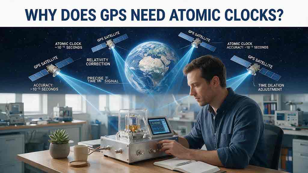
GPS depends on atomic clocks because every satellite range begins as a timing measurement. Since radio signals travel at nearly the speed of light, even a nanosecond-level clock error can represent centimeters or meters of apparent distance. This article explains how GPS satellites use atomic frequency standards, ground monitoring, clock corrections, and navigation messages to maintain reliable timing. It also shows why ordinary smartphones do not need atomic clocks, why a basic three-dimensional GPS solution normally requires four suitable satellite measurements, and how relativity affects clocks in orbit. A worked timing-to-distance example, an original five-step evaluation framework, and a GPS error table help distinguish satellite clock error from atmospheric delay, multipath, receiver bias, poor geometry, and other limitations. Based on official GPS.gov, NIST, NAVCEN, and NOAA documentation, the guide provides a practical and carefully qualified explanation of why precise time is fundamental to modern satellite navigation.
Explore More Topics
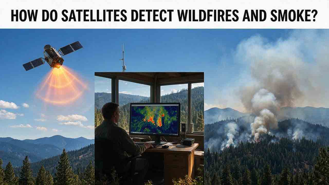
How Do Satellites Detect Wildfires and Smoke?
Satellites detect wildfires by measuring unusual heat in infrared wavelengths, while visible, multispectral, and aerosol observations help analysts follow smoke across the atmosphere. This guide explains how systems such as GOES, VIIRS, MODIS, Landsat, and Sentinel contribute different pieces of the wildfire-monitoring picture. Readers will learn why a thermal hotspot is not the same as an exact fire perimeter, why satellite smoke imagery cannot replace ground-level PM2.5 measurements, and how clouds, terrain, viewing geometry, and satellite overpass timing can affect detection. The article also compares commonly used fire and smoke products, explains fire radiative power and the Normalized Burn Ratio, and provides a practical framework for choosing the right map. A documented Camp Fire example shows how multiple satellite and surface datasets can complement one another. Satellite information is valuable for situational awareness, but official emergency agencies remain the appropriate source for evacuation orders, road closures, and immediate safety decisions.
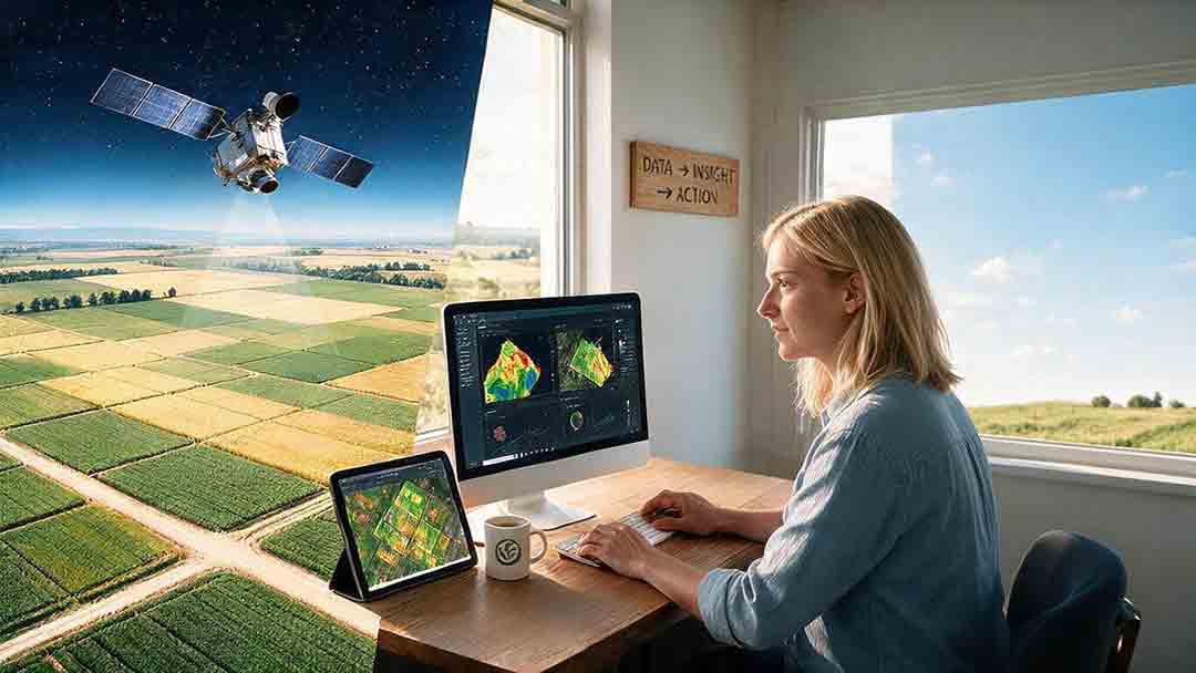
How Are Satellite Images Used in Agriculture?
Satellite images help farmers, agronomists, researchers, insurers, and public agencies monitor agricultural land across fields, regions, and growing seasons. This guide explains how optical, radar, thermal, and microwave satellite observations support crop-development monitoring, irrigation analysis, field mapping, flood and drought assessment, crop classification, and regional production forecasting. It distinguishes what satellites directly observe from calculated indices, classification results, and modeled estimates such as evapotranspiration. Readers will also learn how NDVI works, why spatial resolution and image timing matter, and when drones or field scouting are more appropriate. The original CosmoBasics SCALE Framework provides a practical way to decide whether satellite imagery fits a specific agricultural problem. Documented examples from USDA and OpenET show how operational products combine multiple observations, reference data, weather information, and models. Throughout the guide, satellite imagery is treated as a screening and monitoring tool—not a substitute for field verification, laboratory testing, or professional agricultural judgment.
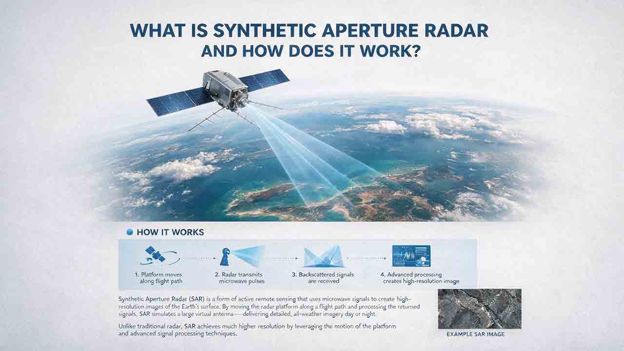
What Is Synthetic Aperture Radar and How Does It Work?
Synthetic aperture radar, or SAR, is an active Earth-observation technology that creates detailed images by transmitting microwave pulses and measuring the echoes returned from the surface. This article explains how a moving satellite or aircraft collects repeated observations to form a virtual antenna, why SAR can operate at night and through most cloud cover, and how amplitude, phase, wavelength, polarization, surface roughness, moisture, and viewing geometry affect radar imagery. It also distinguishes pixel spacing from true spatial resolution, provides a transparent range-resolution calculation, and compares SAR with optical satellite imagery. Practical sections examine scattering mechanisms, flood mapping, agriculture, forests, ice, maritime monitoring, and InSAR-based ground-deformation analysis. Original interpretation and data-selection frameworks help readers evaluate backscatter patterns, choose suitable products, identify common errors, troubleshoot unexpected results, and communicate uncertainty without treating derived radar products as guaranteed ground truth.